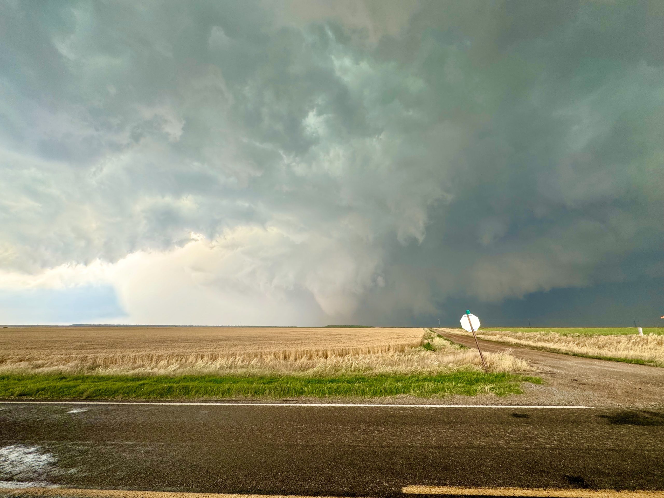
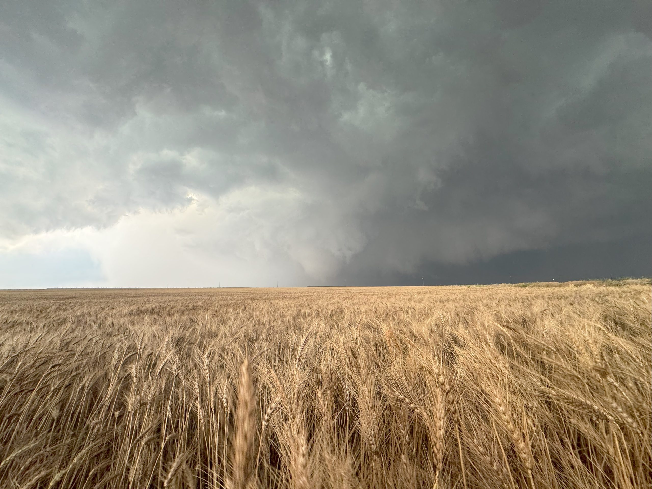
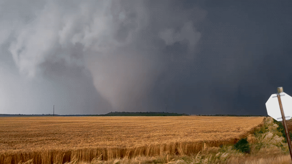
Last week, NSSL’s Low-Level Internal Flows in Tornadoes experiment, or “LIFT”, intercepted a violent tornado southeast of Duke, Okla., gathering a data set that could prove to be significant in our understanding of tornado winds at the ground level.
Researchers with LIFT seek to gather data to characterize tornado flows in the level of the atmosphere where they impact humans; the lowest 50-100 feet of the atmosphere. This area of tornadoes is still relatively unknown compared to upper air areas.
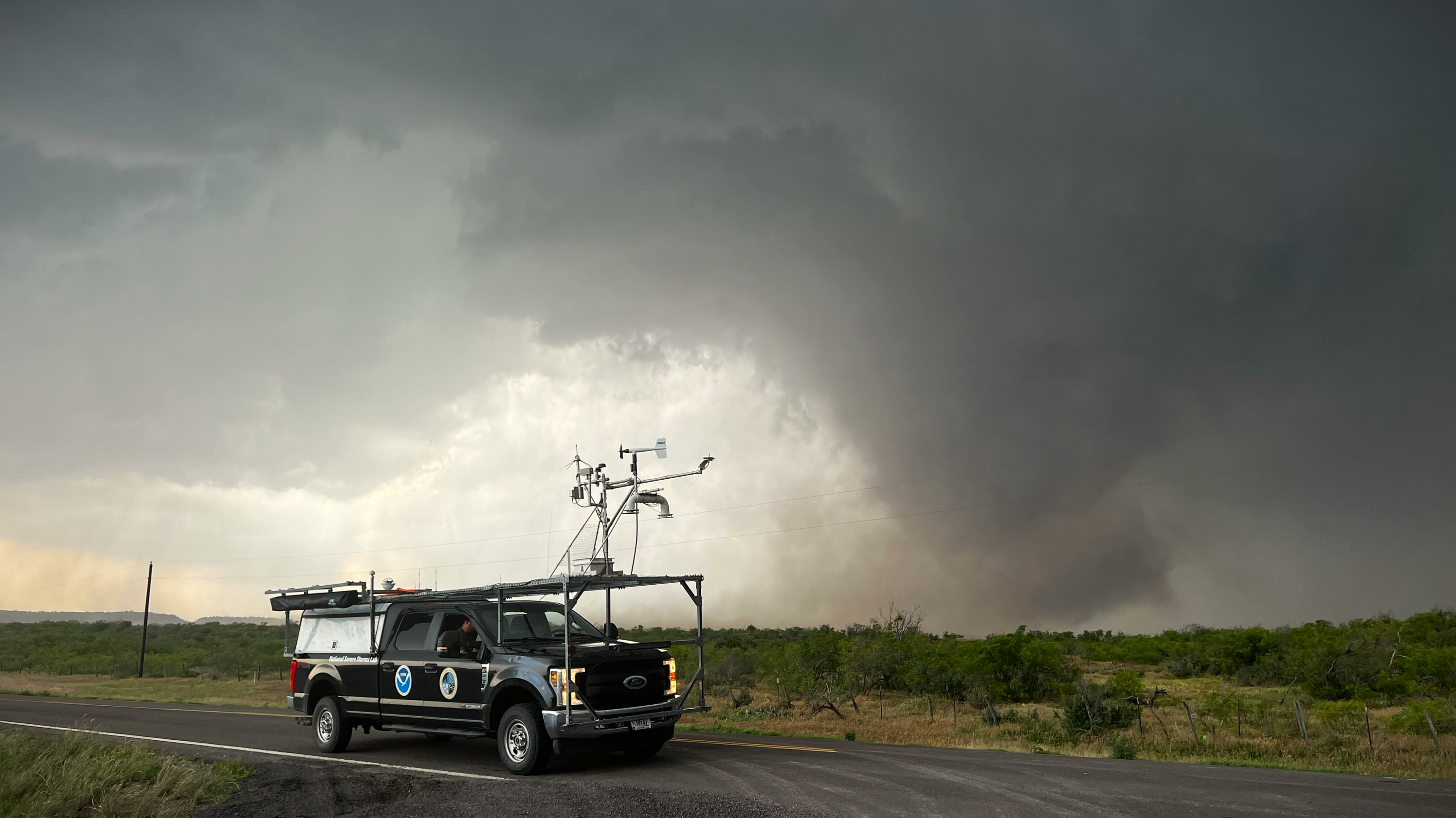
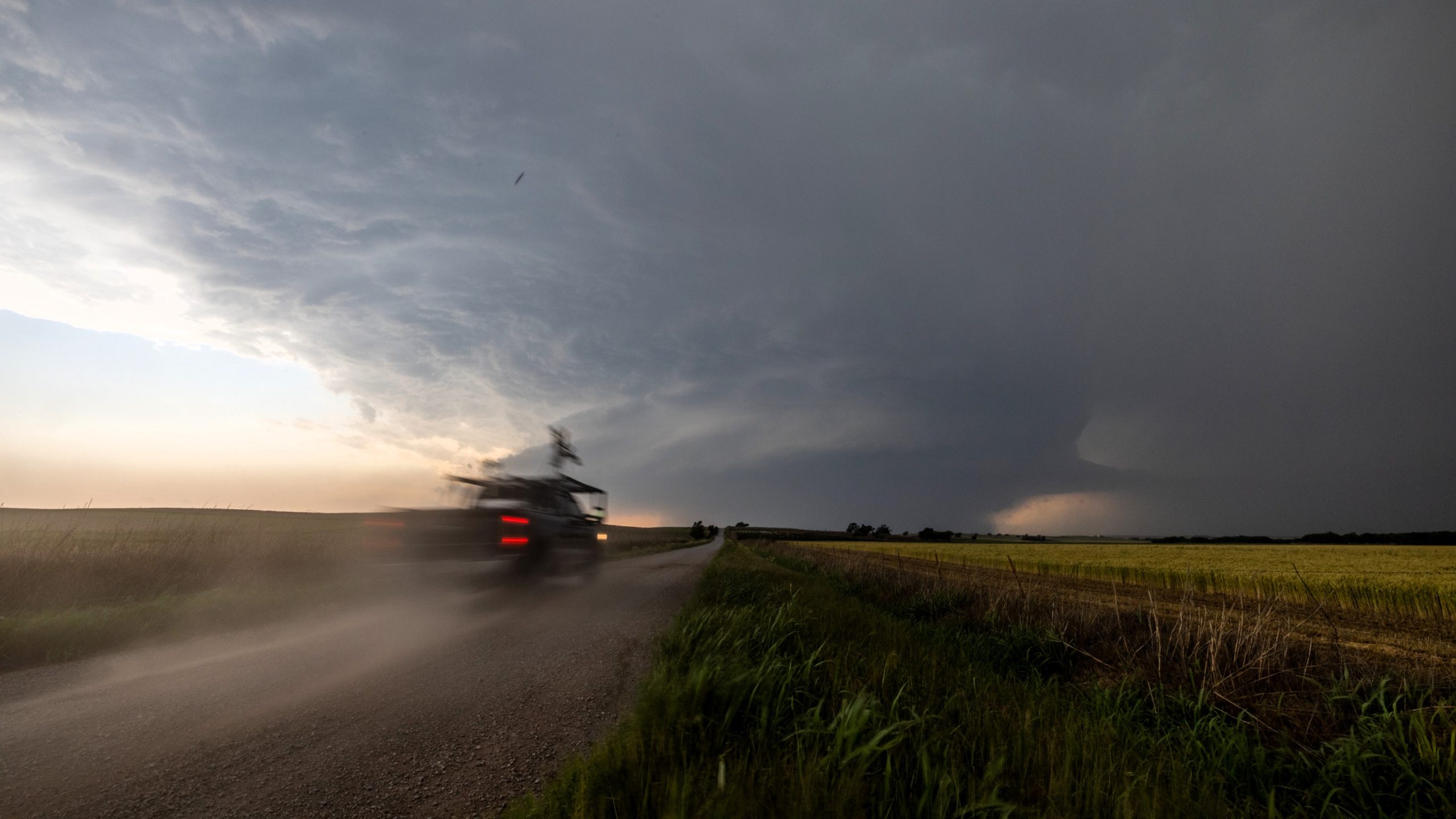
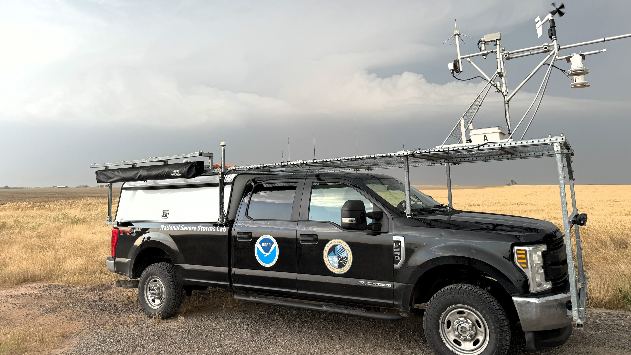
To accomplish this objective, LIFT scientists scan tornadoes from very close range (within a mile or two) with mobile radars, Doppler lidar, and other NSSL-innovated platforms.
In the Duke OK event, a Texas Tech University mobile Doppler radar obtained data from less than one mile from the violent tornado. This high-resolution radar scanned the near-ground portion of the tornado.
Additionally, with other research groups in the area, there were at least five mobile Dopplers capturing data on this tornado at various close ranges. Post-storm damage analysis from uncrewed aerial systems (UAS), another component of the LIFT project, as well as high-resolution satellite imagery, will further help researchers characterize the nature of the tornado winds at the ground. Extensive photographic data will also augment the analysis.
The Duke tornado was LIFT’s second intercept in just one week, and with such a robust data set is likely to end up as one of the most-studied tornadoes ever after the research is complete.
LIFT is supported by VORTEX and is a collaboration of NSSL, Texas Tech University and the Cooperative Institute for Severe and High-Impact Weather Research and Operations(CIWRO).