Weather forecasters use a suite of sophisticated computer models to help them predict the weather every day. To make better forecasts, you need better models. That’s where researchers play an important role.
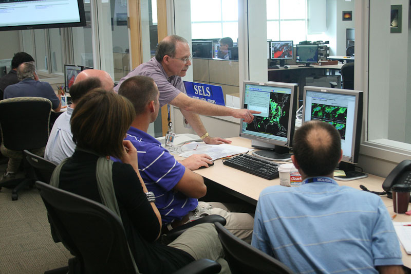
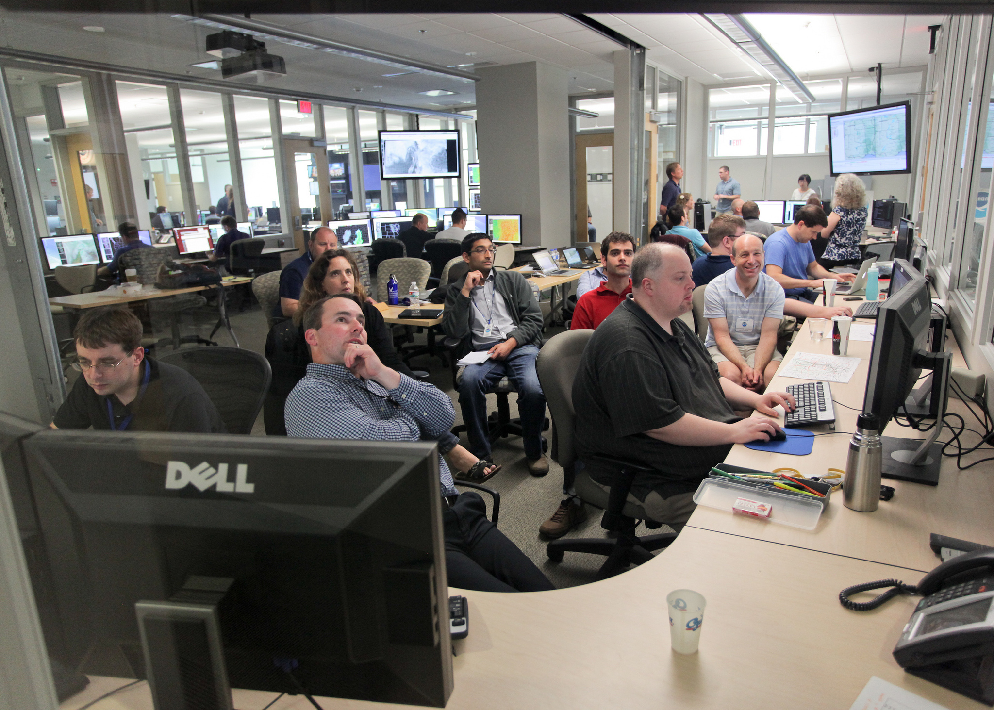
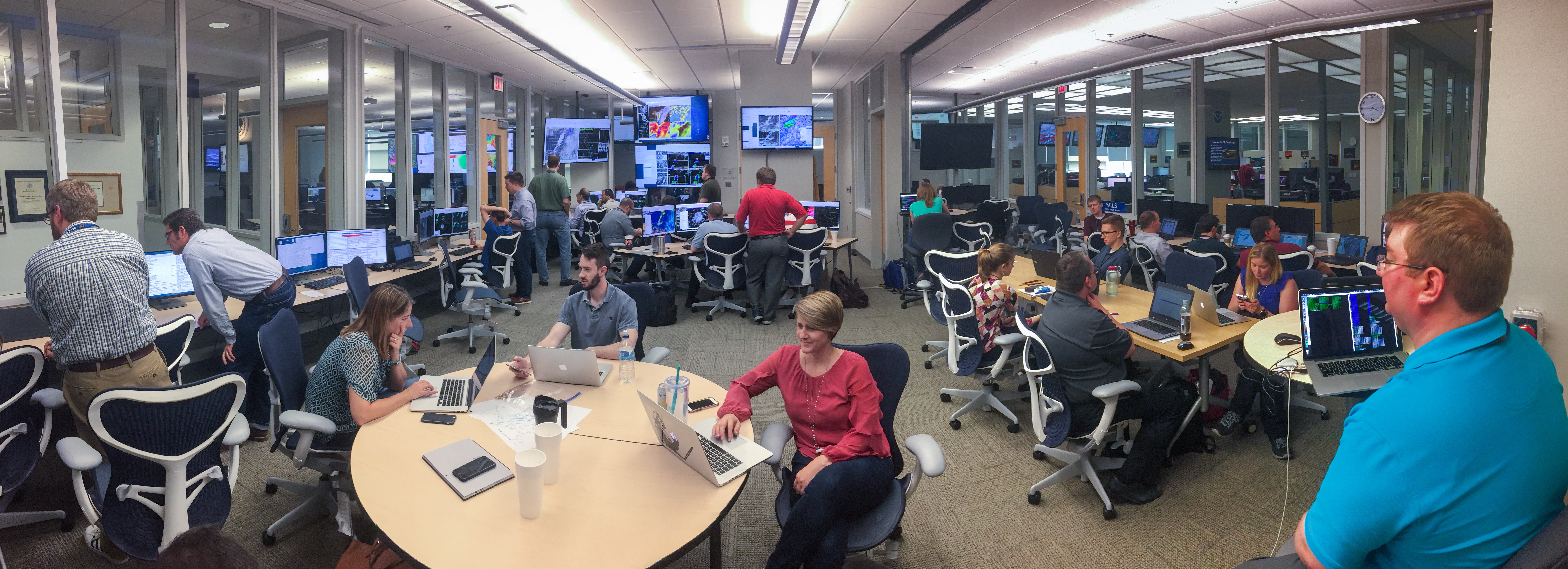
Every spring for more than 20 years, researchers and forecasters have come together in the NOAA Hazardous Weather Testbed to evaluate and improve weather models designed to predict severe storms, with the goal of providing new tools for forecasters. The NOAA Hazardous Weather Testbed is a facility housed in the National Weather Center in Norman, Oklahoma. The physical space allows researchers, forecasters, emergency managers, broadcasters, and behavioral scientists to gather and study future forecasting tools and techniques.
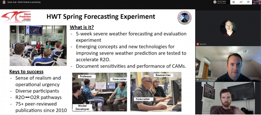
This year the research continues with one major difference. Instead of gathering side-by-side, participants in the Spring Forecasting Experiment will be working from home in a virtual experiment from April 27 to May 29.
“We want to know how forecasters can use different tools and how we can convey information to the public, all while documenting the performance of different forecasting models,” said Adam Clark, NSSL research scientist.
Clark is one of the experiment’s co-principal investigators, along with Israel Jirak, Science and Operations Officer with the NOAA National Weather Service Storm Prediction Center. In addition to NSSL and SPC, this year’s virtual spring forecasting experiment includes NOAA participants from the Global Systems Laboratory, Geophysical Fluid Dynamics Laboratory, Environmental Modeling Center, Weather Prediction Center and Aviation Weather Center, as well as a variety of governmental and academic partners including the University of Oklahoma, Iowa State University and the National Centers for Atmospheric Research, and international partners from as far as Australia, Brazil, and the UK Met Office.

In addition to the analysis of regional high-resolution forecast models during the experiment, some participants will explore the Warn-on-Forecast system. The WoFS is a short-term forecast model that could be used to fill the gap in the watch-to-warning time scale. A watch is issued several hours in advance of potential storms, alerting the public of possible hazardous weather. A warning may be issued immediately before a storm and alerts the public they need to seek shelter immediately.
“Until a warning is issued, there is not much middle ground between a watch and warning,” said Clark. “There are several scientific and behavioral science questions as part of the experiment because the systems we’re testing are different, with different ways to visualize threats.”
Your not so typical day
Experiment participants — located throughout the world — begin each day with evaluations of the output of a variety of forecast models, followed by virtual small group discussions and analysis.
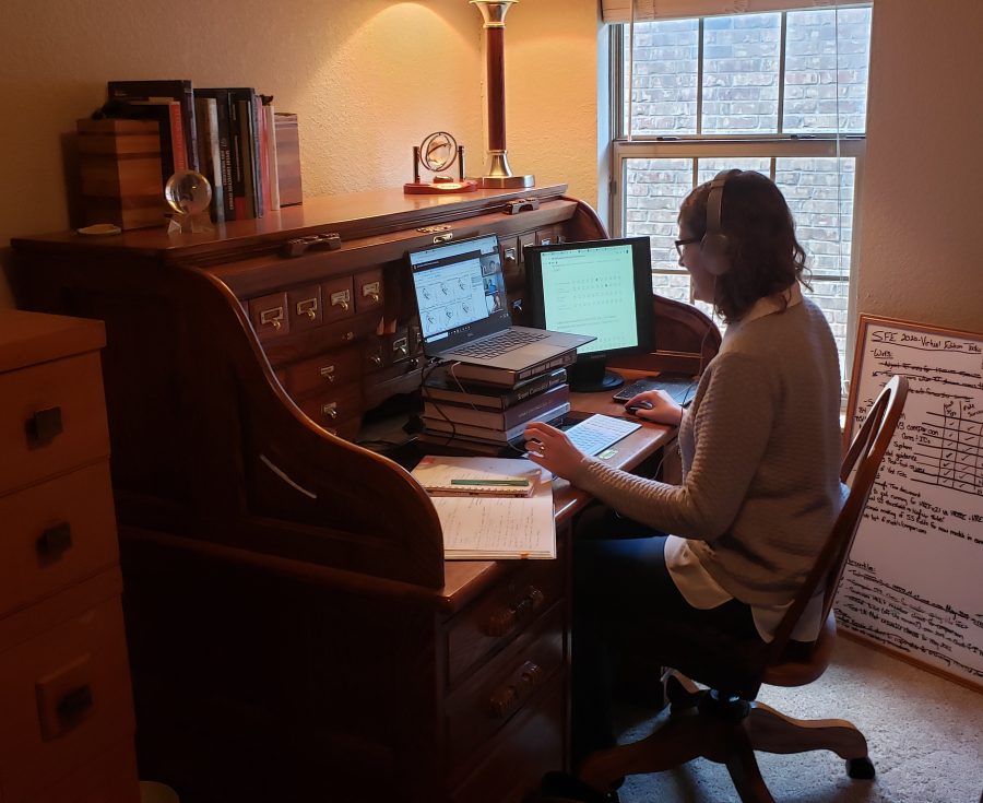
“We might ask them, ‘did anything stand out to them, what was most interesting’ — we get a lot of value from those organic discussions and perspectives,” said Burkely Gallo, a lead facilitator for the experiment at the University of Oklahoma Cooperative Institute for Mesoscale Meteorological Studies, whose work supports the Storm Prediction Center. “We didn’t want to lose the ability to have those conversations.”
A subset of participants then delves into issuing experimental severe weather outlooks and forecasts using Warn-on-Forecast output.
“We’ll get a lot of data out of this experiment because we were able to preserve what helps us answer our research questions,” said Gallo.
Even virtually, the experiment will continue to provide different perspectives from the severe weather enterprise blended together, resulting in better forecasts to save lives and property.
models Being used and tested
- Global System Laboratory’s High-Resolution Rapid Refresh Ensemble
- FV3
- Warn-on-Forecast System
