Weather radar research is a key part of NSSL’s mission in support of the NOAA National Weather Service (NWS). This week, NSSL/CIMMS scientists will share the latest in weather radar research at the American Meteorological Society’s 2013 Conference on Radar Meteorology in Breckenridge, Colo.
Phased array radar research presentations include:
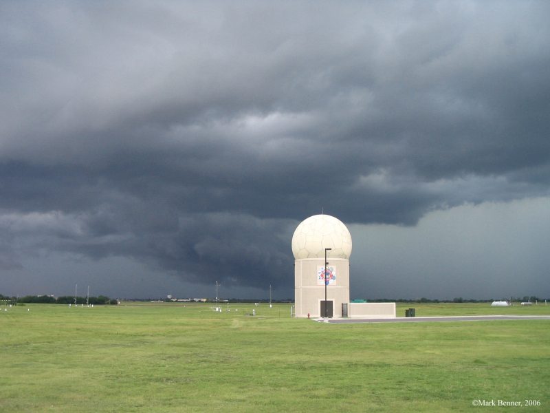
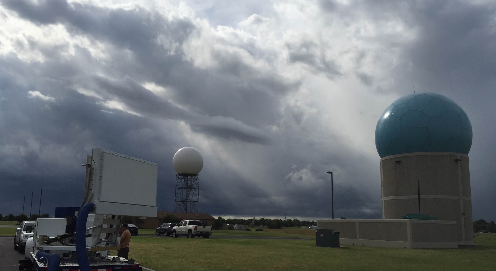
- An overview of the latest improvements to the National Weather Radar Testbed
- Phased Array Radar (NWRT PAR) capabilities to demonstrate Multi-function
- Phased Array Radar (MPAR) program weather and aviation requirements
- How NWS forecasters’ responded to rapid, adaptive phased array radar sampling and if it increased their ability to effectively cope with tough tornado
- warning cases
- New techniques to increase the NWRT PAR scan rate and reduce observation
- times
- NWRT PAR observations of microburst events
- A method to detect and characterize storm merges and splits using rapidly updating NWRT PAR observations in thunderstorm models
NSSL/CIMMS researchers also work with current weather radars in operation and will present:
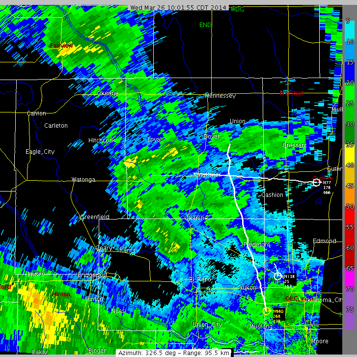
- A new algorithm that combines output from a forecast model with dual-polarized radar data to more accurately estimate what winter weather is occurring between the lowest scan of the radar and the ground.
- A study of how NSSL’s products that estimate precipitation amounts improved using dual-polarized radar data
- Evaluation of existing hail size estimation algorithms
- Crowdsourced reports precipitation types at the ground using the “meteorological Phenomena Identification Near the Ground” (mPING) smart phone app
- Development of a database of U.S. flash flood events using NSSL’s Severe Hazards Analysis and Verification Experiment, and mPING reports
- Improvements in radar wind data quality control
Other presentations include mobile radar observations of a tornadic supercell and rainfall in the Mediterranean region and airborne radar observations of precipitation in the Indian Ocean.


