
Written by Bryan Burlingame [Part 2 of How to Create Reflectivity -10C]
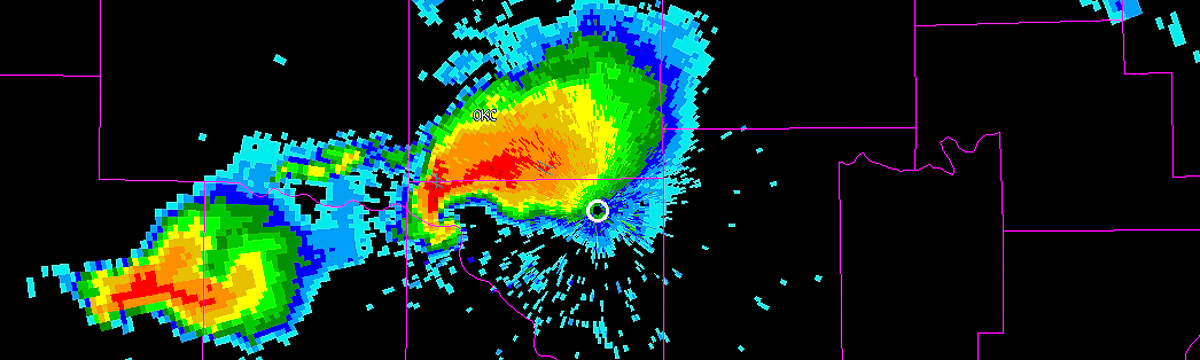
NEXRAD NCDC Data:
Download individual NEXRAD radar data from:
http://www.ncdc.noaa.gov/nexradinv/map.jsp
Or in bulk from:
Once downloaded, untar and unzip any files if necessary. Then same as mentioned above organize the files so that only the files you actually need are in a directory.
Converting NEXRAD Level II Data to WDSS-II NetCDF
The steps below need to be done individually for all the radars that you plan to merge (i.e., If you have data from 3 radars, you must run ldm2netcdf (below) 3 times, once for each radar.)
I recommend reading the “quick usage” guides that are available via the WDSS-II website, or typing just the command into the terminal to see the other flags that can be passed. Below explains only the flags which we used.
- The command needed to convert the NEXRAD data to WDSS-II NetCDF is ldm2netcdf. An example of the command issued is below.
ldm2netcdf -i /path/to/NEXRAD/data -a -1 -p KXXX -s KXXX -o /path/to/radar/NetCDF/ –verbose
- –i = input radar directory (where the radar data were downloaded to)
- –a = reads old LDM files in the input directory
- –1 = (one) Not real time
- –p = pattern recognition.. aka the radar site identifier (e.g. KXXX)
- –s = the radar site (e.g. KXXX)
- –o = the output directory (where you want your now NetCDF files to go, if directory does not exist, one will be created for you).
- Use replaceIndex to create the needed configuration file code_index.xml.
replaceIndex -i /path/to/code_index.fam -o /path/to/code_index.xml
- –i = path should the same as the output directory from ldm2netcdf, linking to the code_index.fam/ directory generated by that command
- –o = should be the same path as the input here, except the output is code_index.xml
De-Aliasing NEXRAD Level II Velocity Data
In this step we will De-alias the radar velocity data.
- The command used in this step is “dealias2d.” Here is an example of the command issued.
dealias2d -i /path/to/code_index.xml -o /path/to/radar/files -R KXXX –verbose
- –i = path should the same as the output directory from replaceIndex ran in the previous step, linking to the code_index.xml file which is the configuration file for all the radar data
- –o = should be the same output path as used above in ldm2netcdf.
- –R = should be the same as the flag passed for –p –s in ldm2netcdf (e.g. KXXX)
- Run replaceIndex on the code_index.fam directory in your NetCDF output directort. The command issued should be identical to the command issued after running ldm2netcdf. This will update the configuration file so it contains the newly de-aliased velocity data.
Quality Controlling NEXRAD Level II Reflectivity Data
This step will run Quality Control (QC) tests on the radar data to eliminate any noise and clutter. There are two different commands that can be used, and it depends on whether or not your radar data contains dual-pol.
- QC the radar data using w2qcnn if you are using radar data that does not contain dual-polarization information or use w2qcnndp if using data that does contain dual-polarization information.
- For w2qcnn, here is an example command:
w2qcnn -u -i xml:/path/to/code_index.xml -V Velocity -E /path/to/terrain/KXXX.nc -R 0.25×0.5×460 -o /path/to/radar/NetCDF –verbose
- For w2qcnndp, here is an example command:
w2qcnndp -i xml:/path/to/code_index.xml -V Velocity -E /path/to/terrain/KXXX.nc -R 0.25×0.5×460 -s KRRR -o /path/to/radar/files – verbose
- –u = creates virtual volumes (necessary for w2qcnn; do not use for w2qcnndp)
- –i = path should the same as the output directory from replaceIndex ran in the previous step, linking to the code_index.xml file which is the configuration file for all the radar data
- –V = Velocity – tells the program to use dealiased (rather than aliased) velocity in quality control
- –E = (path) – tells the program where terrain data for each radar may be found for use in quality control
- –R = 0.25×0.5×460 – tells the program that super-resolution Level II radar data is being quality controlled; if super-resolution Level II radar data are not being utilized, then set this to 1x1x460
- –S = KRRR – provides the radar site identifier to the program
- –o = path to the output file directory, should be the same output path as used above in ldm2netcdf and dealias2d.
- Run replaceIndex on the code_index.fam directory in your NetCDF output directort. The command issued should be identical to the command issued after running ldm2netcdf and dealias2d. This will update the configuration file so it contains the newly QC’d data.