

I found a few spare minutes to sneak in a blog post! This one is a bit long-winded, but it’s three days worth, and I’m not very good as a sound bite chef.
It’s hard to describe what VORTEX-SE has been through in the last three days. In my last post, on Tuesday morning, the researchers had jointly decided that there would be a Gulf Coast convective system on Thursday that had a good chance of spewing chilled/dried air across the domain, and reducing or eliminating tornado chances. So the researchers from outside of AL all headed back home.
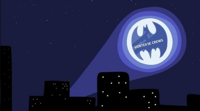
I made it from Huntsville to Dallas/Fort Worth, and then on toward Oklahoma City on a late-night flight. But weather got in the way, and somewhere east of OKC the flight had to turn back to DFW. After a few hours in a nearby hotel without my luggage, I headed back to DFW and got on a morning flight to OKC. When I arrived, my phone was buzzing with text messages that the situation back in Alabama had grown much more concerning. In fact, I saw this in the sky:
By the time I got to my car in the parking lot at OKC, conditions appeared dire enough that I was told I really needed to get back to Alabama. No time to grab a rental car, and not trusting the airlines to ensure my arrival, I headed east in my own car on I-40, making it to Memphis in the late evening. We had a conference with the researchers at 8 PM, I squeezed in a badly needed load of laundry at the hotel, slept about six hours, and then got back on the road early in the morning with one more parking-lot stop to participate in another planning conference call.
You can probably guess the next part of the story. The forecast had once again become dismal, with the likelihood that the coastal convective system would, indeed, flood the area with air that could not support severe storms. We worked through every imaginable scenario for supercells, but could not come up with any that had a good probability of occurring. So instead, we deployed the network of instruments on Sand Mountain, east of Huntsville, to study how that terrain feature modifies the low-level winds and thermal energy in ways that could promote tornadoes, holding out a slim hope that Sand Mountain might actually experience significant storms.
Completely fatigued by the pinball-like travel demands, many of the crews started to head for home early this morning. But wait… the twisting in the wind continues…
The last few forecast model runs have trended toward a more potent scenario for Alabama for Monday. So, we have scheduled our next IOP for Monday. Most teams are making travel arrangements today, and will have until a 10 AM meeting tomorrow to confirm or cancel these plans.
These are the sorts of issues that we face in our tornado research in VORTEX-SE. The whole research team, and the Scientific Steering Committee of the project, have been doing a lot of thinking and revising of plans over the last 6-9 months. We will try to reorient our efforts toward observing those things that we can consistently observe over longer periods of time, rather than trying to capture tornadic storms. We think we can make much bigger, faster progress in the science by looking harder at the environments of all storms in this part of the country, especially those features that span the sizes of 1-100 km (single town to several counties in size), in the lowest 3000 ft. Tornadoes in the Southeast are hard to predict, hard to “catch”, and even if we got lucky and had a tornado move through one of our deployments, it’s not obvious that we could fully understand the processes related to the tornado, and we sure could not say much generally about tornadoes based on one tornado.
So as time goes on, I expect VORTEX-SE to continue to become more effective at producing new knowledge to improve the forecast/warning of Southeast tornadoes at all lead times, and I have great optimism that we will make big progress in understanding how information about tornadoes is conveyed to the public as well as how people and organizations respond to tornado information. All of this work will reduce the vulnerability to tornadoes in the Southeast.