
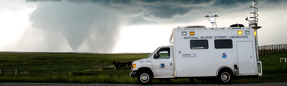
We gathered in Clinton, Oklahoma. A warm front was hanging over teh state with a dryline to the west. The area was boasting a CAPE of 5000 J/kg!
Official websites use .gov
A
.gov website belongs to an official government
organization in the United States.
Secure .gov websites use HTTPS
A
lock (
) or https:// means you’ve safely connected to
the .gov website. Share sensitive information only on official,
secure websites.
We gathered in Clinton, Oklahoma. A warm front was hanging over teh state with a dryline to the west. The area was boasting a CAPE of 5000 J/kg!
The Storm Prediction Center had issued a moderate risk on Sunday, May 9 and had upgraded it to a high risk by Monday morning.
VORTEX2 crews collected data on an elevated supercell thunderstorm near Oberlin, Kansas on May 6, 2010. Storms formed northeast of Goodland, Kansas late in the day as expected. Hoxie, KS…
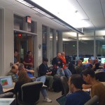
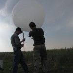
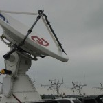
Have you ever wondered what it takes to coordinate such a massive field campaign like VORTEX II? It certainly isn’t an easy task. With over 100 people and oftentimes over…
VORTEX2 2010 officially started on May 1, 2010. Teams in Boulder, Colorado, Lubbock, Texas, and Norman, Oklahoma used the quiet weather to tweak their systems. We all watched as dangerous…
VORTEX2 begins tomorrow, May 1. Every morning the steering committee will meet to decide if we will have operations and where we will go. We don’t even know where we…
Teams are gearing up for VORTEX2 2010 operations!
NCAR hosted a post V2 Press Conference on June 24, 2009 at the Foothills Laboratory in Boulder, Colorado. Four local TV stations, the Denver Post newspaper, AP, and a radio…
Operations ended after data collection in a supercell with low-level rotation east of Dodge City, Kansas.
5.10.09 – DOWN – travel to Norman 5.11.09 – DOWN – travel to Clinton, OK 5.12.09 – GO – Childress, TX, marginal supercell 5.13.09 – GO – Canton, OK 5.14.09…