Phased Array Radar (PAR), a revolutionary new weather radar being developed by NOAA’s National Severe Storms Laboratory, offers faster updates, more accurate and detailed data and game-changing adaptability. Ultimately PAR equips forecasters to offer longer lead times in the face of severe weather and tornadoes.
Current weather radars give us a series of snapshots of precipitation and thunderstorms. When put together those pictures show what is happening in the atmosphere much like a flip book.
Phased Array Radar (PAR), a new weather radar technology currently being developed by the NOAA National Severe Storms Laboratory (NSSL), offers faster updates and much more frequent snapshots, potentially turning that flip book effect into what looks like a smooth video.
For more than 30 years, the nation’s weather forecasting has relied heavily on the NEXRAD radar network (an example of a NEXRAD WSR-88D dual-pol radar pictured right). This network has been the global gold standard in weather radar, however the system is reaching the end of its designed lifespan.
Phased array radar stands as a potential paradigm-shift solution for the future of weather radar in the United States.

NEXRAD, THE ENVY OF THE WORLD
Severe weather continues to pose an increasingly significant threat to communities across the United States. From tornadoes in the Great Plains to hurricanes along the coasts and everything in between, timely and accurate weather forecasts are crucial to saving lives and protecting property.
At the heart of these life-saving forecasts is the radar technology used by meteorologists to monitor and predict the behavior of storms.
For more than 30 years, the nation’s weather forecasting has relied heavily on the WSR-88D (Weather Surveillance Radar, 1988 Doppler), more commonly known as the NEXRAD radar network. This Doppler radar system, developed in large part at NSSL, has provided meteorologists with the ability to track storms in real-time, measure precipitation intensity, and detect the rotational patterns in thunderstorms that may lead to tornadoes. NEXRAD’s capabilities have made it an invaluable tool for issuing timely warnings about severe weather.
Despite its reliability, the WSR-88D has some limitations. One of the most significant is its relatively slow scan time. Typically, it takes between four to six minutes for the radar to complete a full scan of the atmosphere. While this may seem fast, rapidly evolving weather phenomena, like tornadoes or downbursts, can change significantly in just a few minutes, meaning critical details may be missed. Furthermore, the system is reaching the end of its designed lifespan.
“They are still the world class gold standard radar across the entire world for detection of severe weather,” said Jessica Schultz, Deputy Director of the RADAR Next program. “However, they’re becoming more costly to maintain, and because of that, we will have to look for a replacement. A recent study identified NEXRADs diminishing in availability by the mid 2030s. It is a critical national asset, so Radar Next will look at many different types of radar technology to determine the best solution, and then deploy that solution by 2040.”
One of the most significant advantages of PAR is its scan speed. While NEXRAD (seen in the top right and bottom right images) takes several minutes to complete a full scan, PAR (seen in the top left and bottom left images) can do it in less than a minute.
This rapid refresh rate means meteorologists can monitor storms in near real-time, capturing details about fast-evolving phenomena like tornadoes, flash floods, hail, and damaging downburst wind gusts with greater precision.
THE PROMISE OF PHASED ARRAY RADAR
PAR is set to overcome many of the challenges associated with traditional Doppler systems. Unlike NEXRAD, which uses a rotating dish to send and receive radar signals, PAR uses stationary antennas made up of numerous small, electronically controlled elements. These elements can change the direction of the radar beam without any mechanical movement, allowing for almost instantaneous scans of multiple areas in the atmosphere.
One of the most significant advantages of PAR is its scan speed. While NEXRAD takes several minutes to complete a full scan, PAR can do it in less than a minute. This rapid refresh rate means meteorologists can monitor storms in near real-time, capturing details about fast-evolving phenomena like tornadoes, flash floods, hail, and damaging downburst wind gusts with greater precision.
“This technology represents a completely new paradigm for weather observations, because we can steer the beam electronically,” said Sebastian Torres, a research scientist with The Cooperative Institute for Severe and High-Impact Weather Research and Operations (CIWRO) and NSSL. “We can do things that are impossible to do with a dish antenna. For example, we can provide radar data with super fast updates. And this is very important, especially when you have weather phenomena that are evolving very rapidly, like tornadoes.”
Additionally, PAR has the flexibility to focus on specific areas of interest, such as a rotating thunderstorm or a developing tornado, without needing to complete a full atmospheric scan, making it more efficient and effective in pinpointing severe weather events.
Larry Hopper, NSSL’s Engineering and Observations Branch Director, said that flexible scanning will be invaluable to forecasters.
“Phased array radar is really the only potential onramp for the future that can scan flexibly and adaptively in a way that’s going to be ready for when the National Weather Service is going to need it here in the next decade or two,” said Hopper.

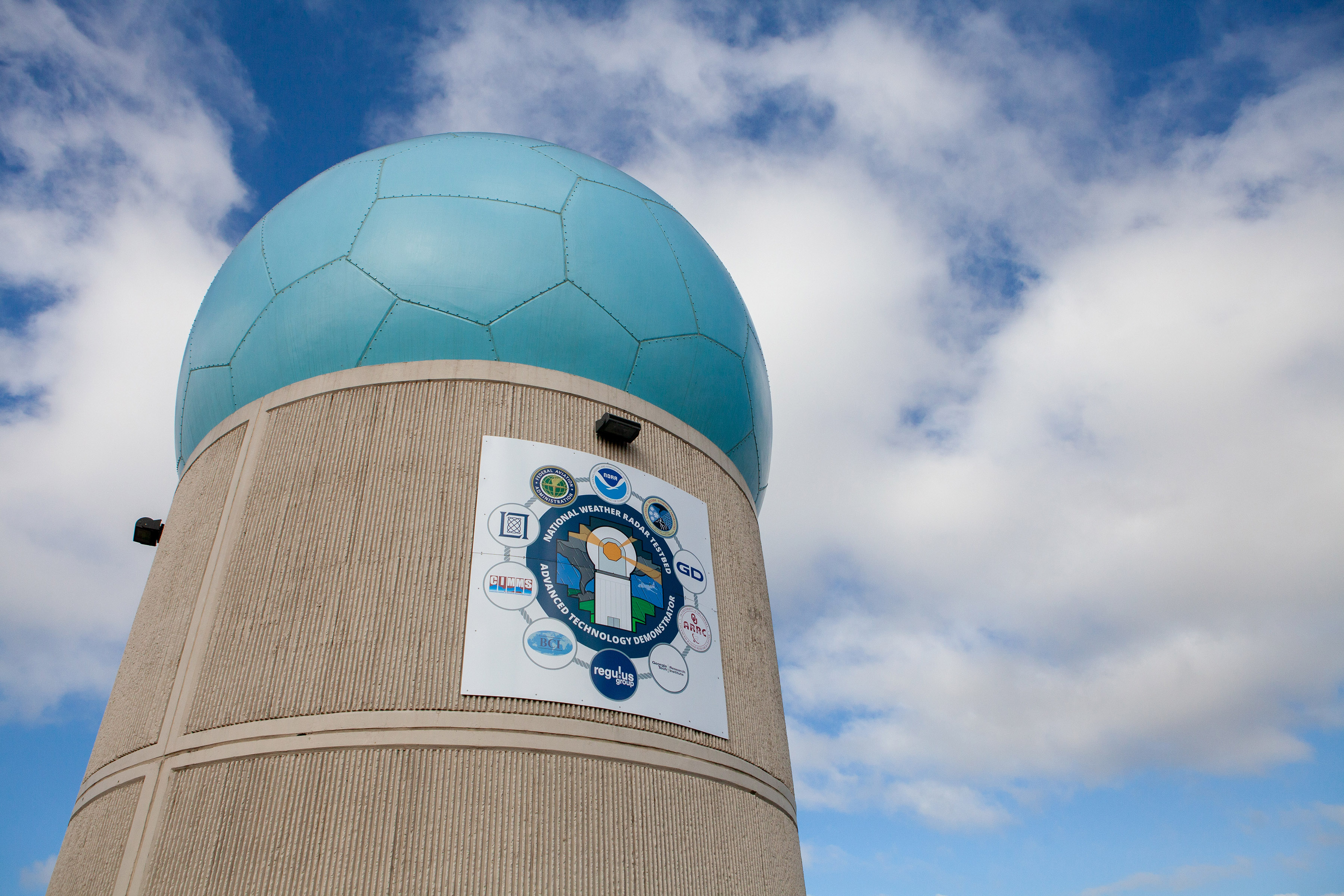
The Advanced Technology Demonstrator (ATD) is a single-face, dual-pol, phased array radar designed as a proof of concept to test and iterate on the potential capabilities of a future nationwide PAR network.
In just a few short years the ATD has already collected more than 290 hours of data, including capturing 13 tornadic supercells.
THE ADVANCED TECHNOLOGY DEMONSTRATOR
To explore the full potential of PAR, NSSL and its partners have developed the Advanced Technology Demonstrator (ATD), a single-face, dual-pol, phased array radar. The ATD is a research prototype of PAR designed as a proof of concept to test and iterate on the potential capabilities of a future nationwide PAR network.
“In 2016 we, along with our partners, built the Advanced Technology Demonstrator,” said Torres. “The ATD is the first ever full size dual polarimetric phased array radar designed for weather observations. The original goal was to demonstrate that we could combine dual polarization and phased array radar technologies into a single system and since the ATD became operational in 2021, we’ve been able to collect a large number of data sets that show the value of rapid update, dual pol data.”
NSSL has already deployed the ATD with great success in real-world scenarios, testing its ability to track severe weather events. Early results have been outstanding, demonstrating the system’s ability to provide faster, more detailed data on storm structure and development. In just a few short years the ATD has already collected more than 290 hours of data, including capturing 13 tornadic supercells.
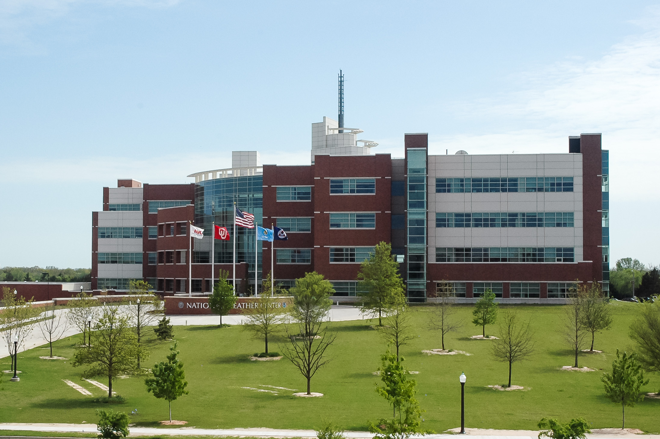
The lab has been actively testing the gathered ATD data in the NOAA Hazardous Weather Testbed (HWT), a collaborative space where researchers and forecasters work together to evaluate new tools and technologies.

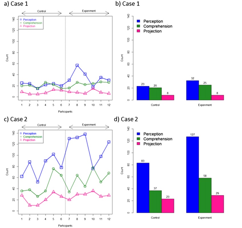
Early testing has yielded overwhelmingly positive feedback with forecasters reporting that phased array radar data gave them more confidence in their decision making and allowed them to issue more accurate and faster warnings for severe weather and tornadoes.
The integration of PAR into the HWT has provided invaluable insights, with researchers praising the system’s ability to deliver real-time, high-resolution data on rapidly developing storms. Feedback from these tests has been overwhelmingly positive, with meteorologists noting how the increased scan speed and targeted data collection significantly enhance their ability to assess storm behavior and issue more accurate and timely warnings. Hands-on testing in the HWT will be crucial to refining PAR technology and demonstrating its potential to revolutionize severe weather forecasting.
“Participants really anchored on to the rapid update times that phased array radars can provide,” said Charles Kuster, an NSSL research meteorologist. “We had lots of people say something along the lines of, ‘I see this evolving in near real time, and I don’t have to fill in anything in my conceptual model. It’s just there. I can just see it.’ And I think that is what boosted their confidence in the warnings that they were issuing.”
“I was amazed at how much quicker and better the storm motion was, because you’re getting those low level scans more frequently,” said Ryan Bunker, NWS Norman Weather Forecast Office Meteorologist. “It was definitely a huge plus, not only for the location of warnings but just overall, lead time as well. Using PAR data definitely can give you confidence to issue warnings quicker – and to extend that lead time to protect life and property.”
Ultimately it is that improvement to warning accuracy and lead time that makes PAR a worthwhile investment for taxpayers and society in general.
WHY THE U.S. NEEDS PHASED ARRAY RADAR
Although it has been the envy of the world for decades, the NEXRAD network is nearing the end of its planned lifespan and will need to be upgraded or replaced in the next 5-10 years.
The decisions we make will have long lasting impacts not only on the science and engineering of weather radar, but also the safety of our citizens across the country.
NSSL Director, Dr. DaNa Carlis
PAR stands as a potential paradigm shift solution for the future. Its rapid scan time allows meteorologists to track severe weather with unprecedented precision, reducing the time needed to issue warnings for tornadoes, flash floods, and other dangerous phenomena. Ultimately resulting in larger lead times and better more accurate information for the public and emergency personnel as they make crucial, lifesaving decisions.
“The next 10 years are critical for the future of weather radar in the United States,” said NSSL Director DaNa Carlis. “The decisions we make will have long lasting impacts not only on the science and engineering of weather radar, but also the safety of our citizens across the country. PAR is ready to be part of Radar Next and will serve as a critical infrastructure investment that will advance our understanding of severe weather and train our next generation of STEM talent.”
Given the escalating frequency and intensity of severe weather events, the need for faster, more accurate weather forecasting tools has never been greater. Investing in Phased Array Radar would represent a bold leap forward in the United States’ ability to predict and respond to life-threatening weather conditions. Transitioning from the aging WSR-88D system to some version of a PAR network would not only improve public safety but also allow the U.S. to retain its position as the world leader in weather technology and innovation.


