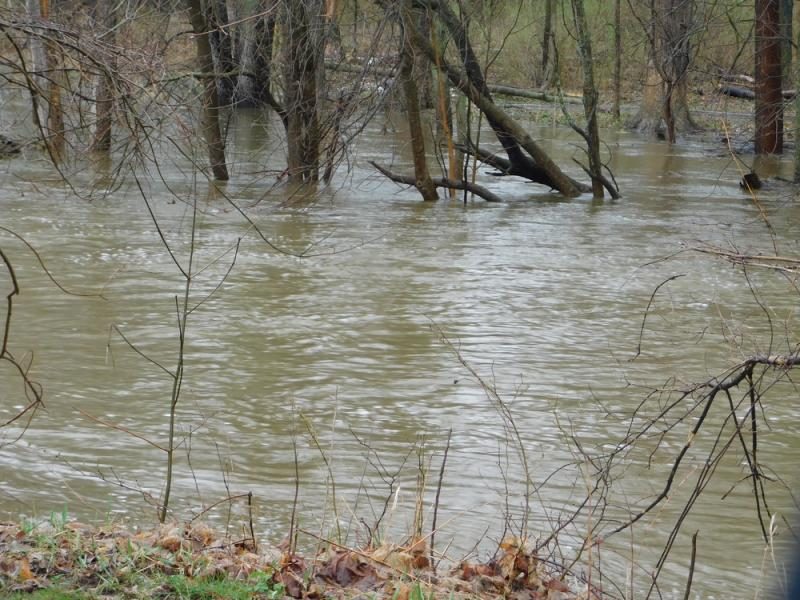
 During a flood, advance warning is the key to reducing damage and ensuring safety. However, conventional rain gauges— which are currently utilized to monitor rivers and predict upcoming flood conditions—can be costly and labor-intensive to maintain. In addition, gauges are often washed away during floods, resulting in a valuable piece of equipment being lost.
Researchers at the NOAA National Severe Storms Laboratory are working to improve streamflow monitoring with the Automated Non-Contact Hydrologic Observations in Rivers (ANCHOR) project.
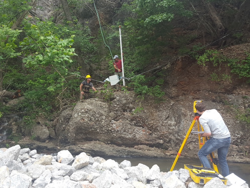
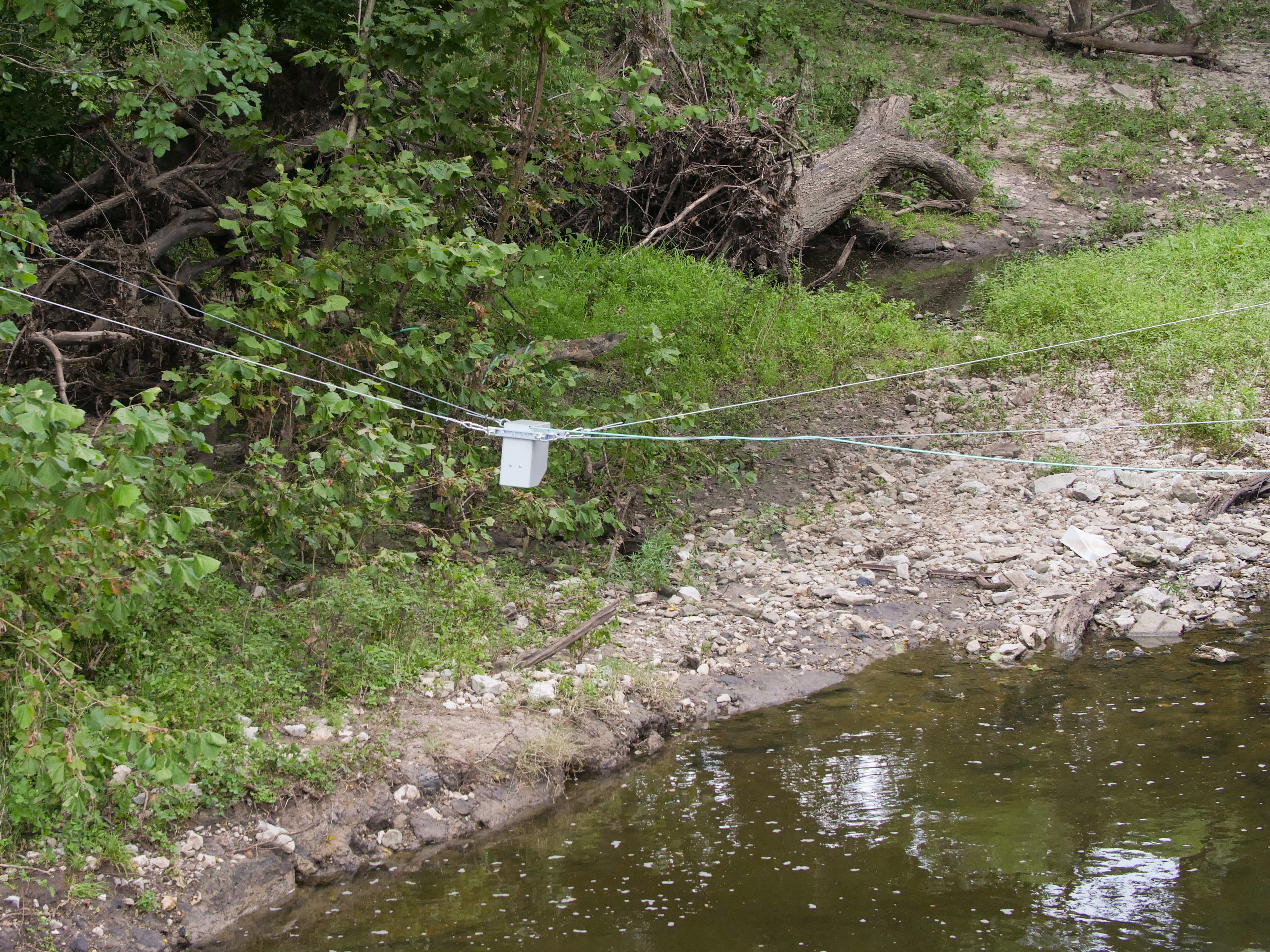
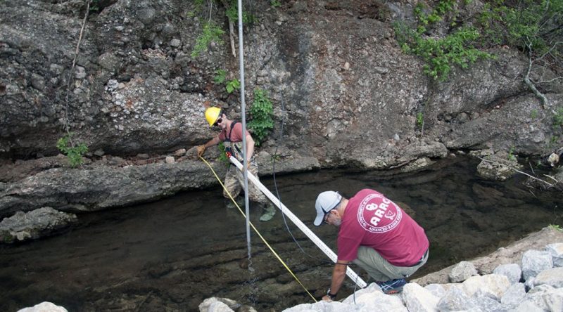
The project is focused on three non-contact technologies to improve the observational and monitoring capabilities in rivers: Streamflow Radar, Scanning Lidar and Interferometric Stream Radar (ISRad). The streamflow radar portion of the project is currently the most robust, and 14 sites throughout the United States have already been installed with remote sensors that use Doppler radar to measure speed, depth, and flow rates in streams. Installations will take place through 2017 with results expected in early- to mid-2018.
This technology, used in combination with text alerts and notifications, has the potential to significantly impact water resource management practices and help reduce the damage and injury that occurs due to flooding.
To learn more about the project, R&D Magazine spoke with ANCHOR’s principal investigator Jonathan J. Gourley, research hydrologist with the NOAA National Severe Storms Laboratory.
[…]
READ MORE:
https://www.rdmag.com/article/2017/09/remote-sensing-streamflow-radar-provides-advance-warning-flooding

 During a flood, advance warning is the key to reducing damage and ensuring safety. However, conventional rain gauges— which are currently utilized to monitor rivers and predict upcoming flood conditions—can be costly and labor-intensive to maintain. In addition, gauges are often washed away during floods, resulting in a valuable piece of equipment being lost.

