
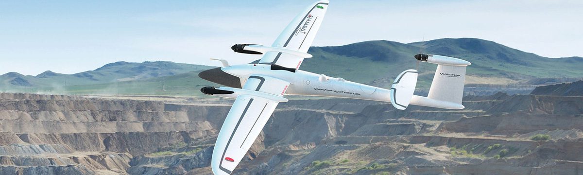


NSSL utilizes uncrewed aerial systems (UASs) for numerous research endeavors. The two main projects applying UAS technology focus on boundary layer research and storm damage surveys.
Since 2021, scientists have conducted over 2,000 flights to collect a wide range of data on severe weather phenomena. This includes weather measurements similar to those gathered by radiosondes, along with video footage and high-resolution imagery. The data cover the full lifecycle of storms—from before convective initiation to post-storm assessments on the ground. This comprehensive approach enables researchers to study severe weather events in detail and compare observations with other datasets, such as radar and numerical model simulations.
These efforts directly support the development of more accurate forecasts helping forecasters, emergency managers, and local officials make faster, better-informed decisions. These efforts can lead to improvements in building codes, construction practices, and damage assessment methods—leading to stronger, more resilient infrastructure. Ultimately, this work aims to improve public safety and reduce economic losses by enhancing the nation’s ability to prepare for and respond to high-impact weather events.
Why UAS? NSSL research proves UAS systems deliver scientific, economic, and societal returns while maintaining America’s competitive edge in critical weather technology. Read more.
