Sometimes, the safest play when conducting severe storms field work just doesn’t work out. Day two of our three-day deployment presented us with two options: drift west from our hotel in Hays, Kansas, for a possible repeat of yesterday’s intense storms — likely including a supercell or two — across northeast Colorado and northwest Kansas, leaving us with a long drive south for a mission in the highly-volatile airmass over Oklahoma; or, drop south to intercept potential storms coming off the mountains of southern Colorado — a much riskier play that would put ourselves in a better location for the next day.
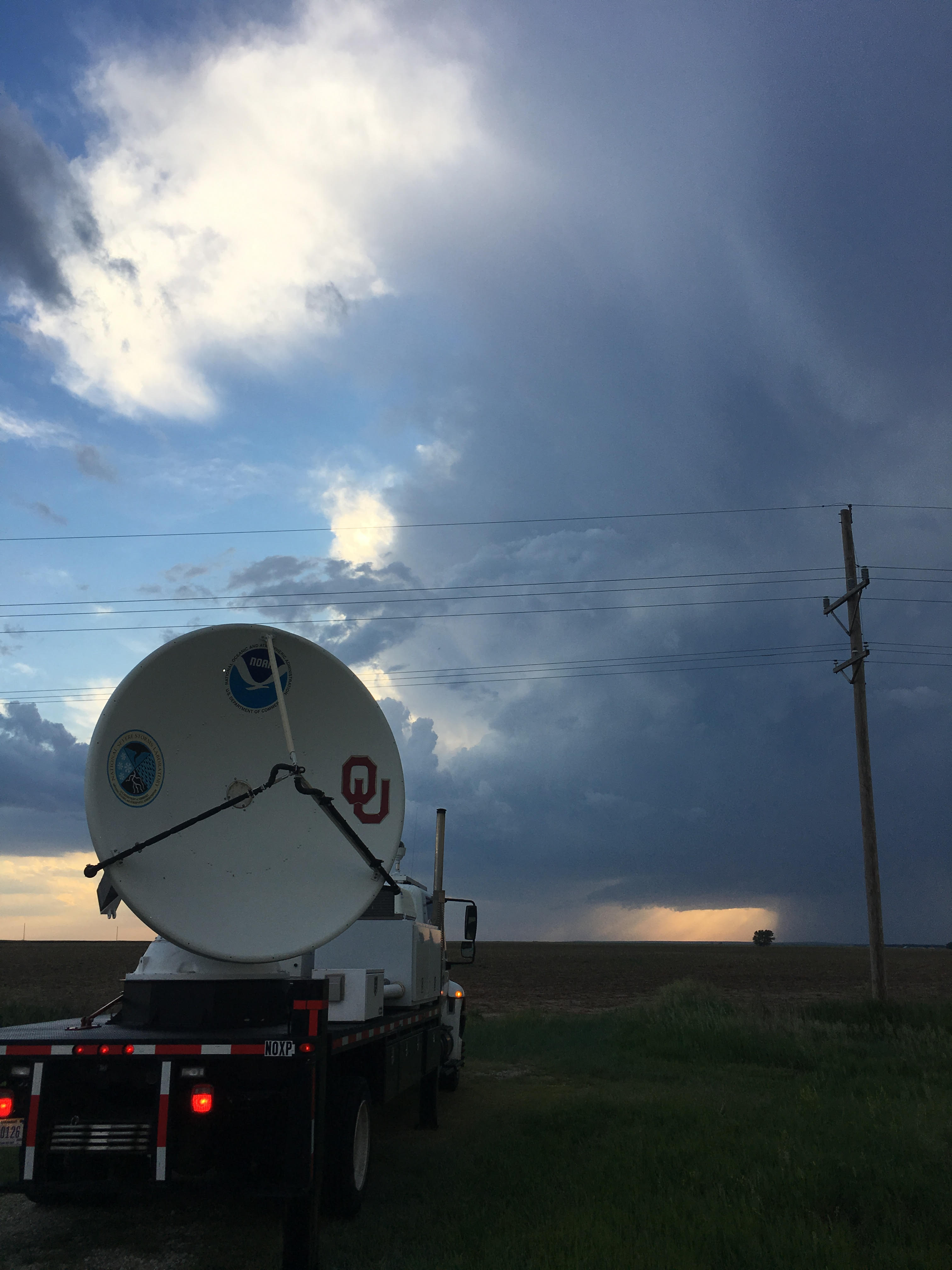
Facing the prospect of possible early-day intense convection far south the next day, we made the difficult decision to forego the north option. We headed south into Lamar, Colorado, where we sat and waited for storms to develop. And we waited…and waited…and waited. We launched a few sondes with not much encouraging data. We were antsy enough to make a couple passes through a shower near Las Animas, but the shower met its demise at the hands of dry air fairly quickly.
It soon became clear the models just didn’t have it right this time. About 90 minutes before sunset, we knew it was time to fold and headed down to Woodward, Oklahoma, for the night.