
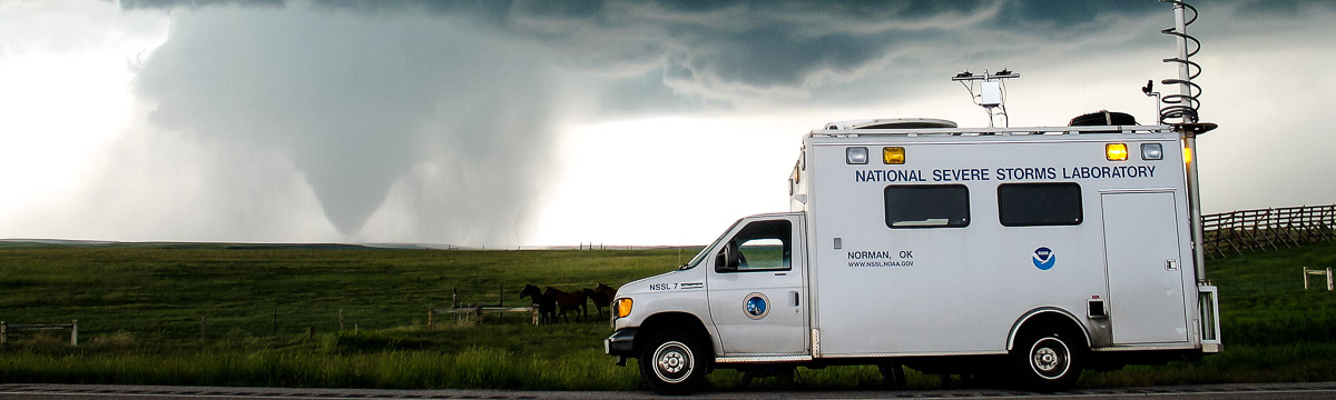
 The target today was a weak cold front across Nebraska and Iowa in a northwesterly flow regime. Although convection was also expected along the Iowa/Missouri border, the central Nebraska target was chosen owing to somewhat better shear (0-6 km shear >40 kts) and more strongly curved hodographs. Instability was marginal with CAPE values expected to be only 1000 J/kg and the moist layer expected to be quite thin. Numerical models had varied solutions with regard to initiation, with some predicting no precipitation in the region. Around 2100 UTC, the first radar echo appeared along a wind shift line near Valentine, NE, and this storm intensified in time, with reflectivity values in the 60s and 70s. The armada was quite far from this storm (in Grand Island, NE) but managed to intercept it as a non-severe, unicellular storm (a severe thunderstorm warning had been issued for the storm prior to the arrival of the armada) between roughly 2345 and 0045 UTC. Some data were obtained within a dual-Doppler lobe during the same time that mobile mesonet and StickNet probes collected data and the radars were scanning nearby. Significant updraft rotation was not observed in the targeted storm; however, weakly rotating updrafts were observed visually farther east and south after
operations ended. These updrafts could not be targeted.
Official websites use .gov
A
.gov website belongs to an official government
organization in the United States.
Secure .gov websites use HTTPS
A
lock (
) or https:// means you’ve safely connected to
the .gov website. Share sensitive information only on official,
secure websites.