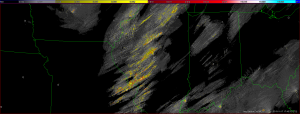
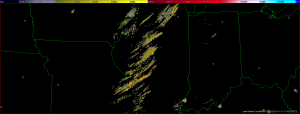
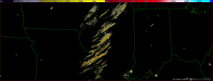
We are really happy when public safety agencies use the imagery from http://ondemand.nssl.noaa.gov/ to show the impact of the recent tornadoes in Illinois. Hey, that’s our stuff, we want to shout. It reminds us of why we do what we do.
But there’s a lot of noise on those accumulation products, noise that can be removed by the use of Multiple Hypothesis Tracking (MHT). We couldn’t do MHT on-demand or in real-time because it is so slow, but just a few weeks ago, we figured out a way to do it faster with not much of a tradeoff in noise removal.
We repeated the analysis of the Illinois outbreak using the faster method and boy, is it faster! We can process an hour of data in 5 minutes! (Here are the cleaned-up rotation tracks for the Illinois tornadoes. It is a KML file, so view it in Google Earth.) MHT will be implemented on the ondemand website in a few days. So, the next time you see folks sharing Rotation Tracks images, they will be cleaner and crisper.


