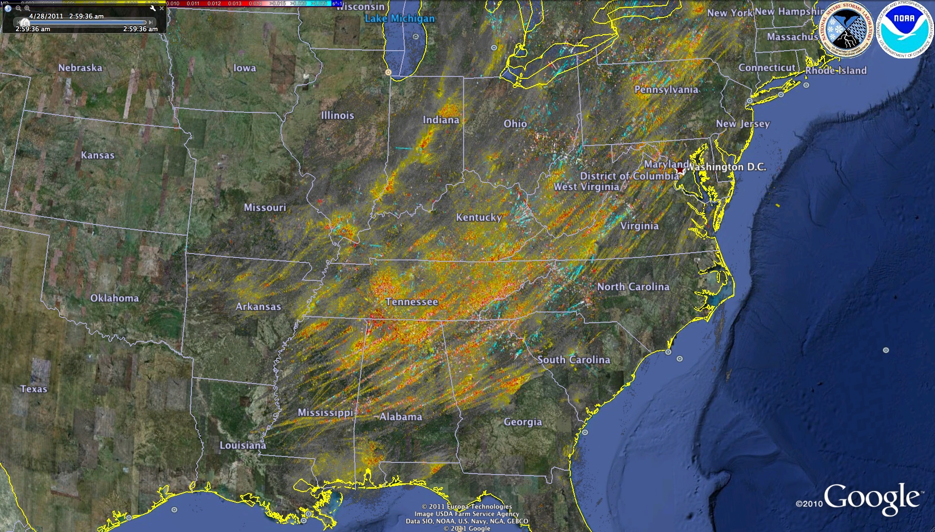
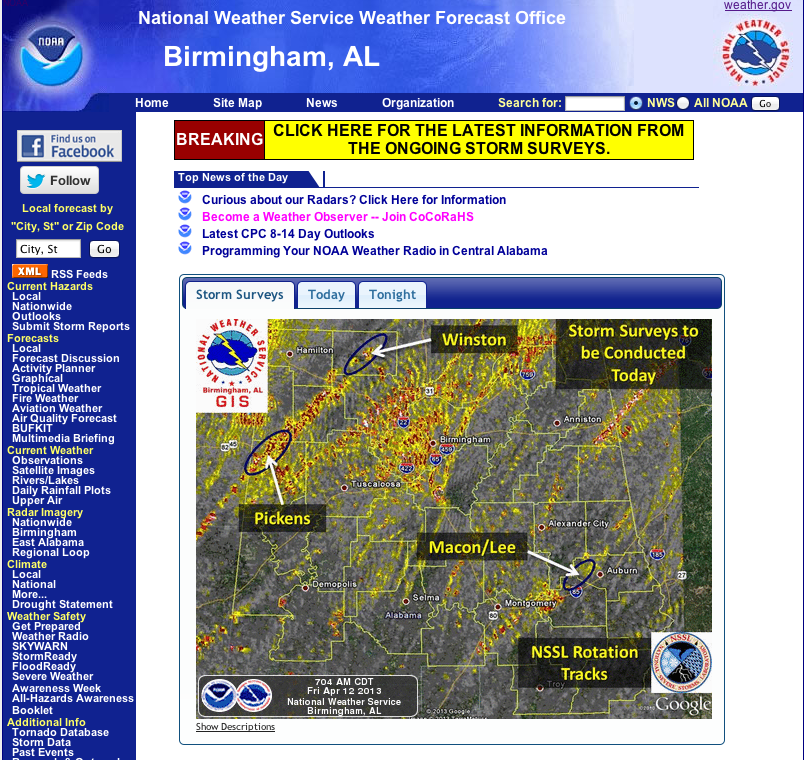
NSSL is using Google Earth as a way to share experimental severe weather products with other researchers and operational meteorologists for evaluation and feedback. A variety of multi-sensor severe weather products are generated by NSSL and shared to Google Earth users via the Internet at http://wdssii.nssl.noaa.gov.
The products include Maximum Expected Hail Size, tracks of circulations derived from Doppler velocity data, and multi-radar blended reflectivity fields, among others. These products, which have a spatial resolution of approximately 1 km by 1 km, are generated every two to five minutes within the WDSS-II. The WDSS-II system provides the images in KML/PNG format which may be imported into most Geographic Information Systems software including Google Earth.
Background: WDSS-II was created by a team of engineers and scientists from the National Severe Storms Laboratory (NSSL) and the Cooperative Institute for Mesoscale Meteorological Studies (CIMMS). The Warning Decision Support System KML consists of a variety of meteorological displays to analyze weather systems, enabling better prediction of where and when severe weather may occur causing problems.


