
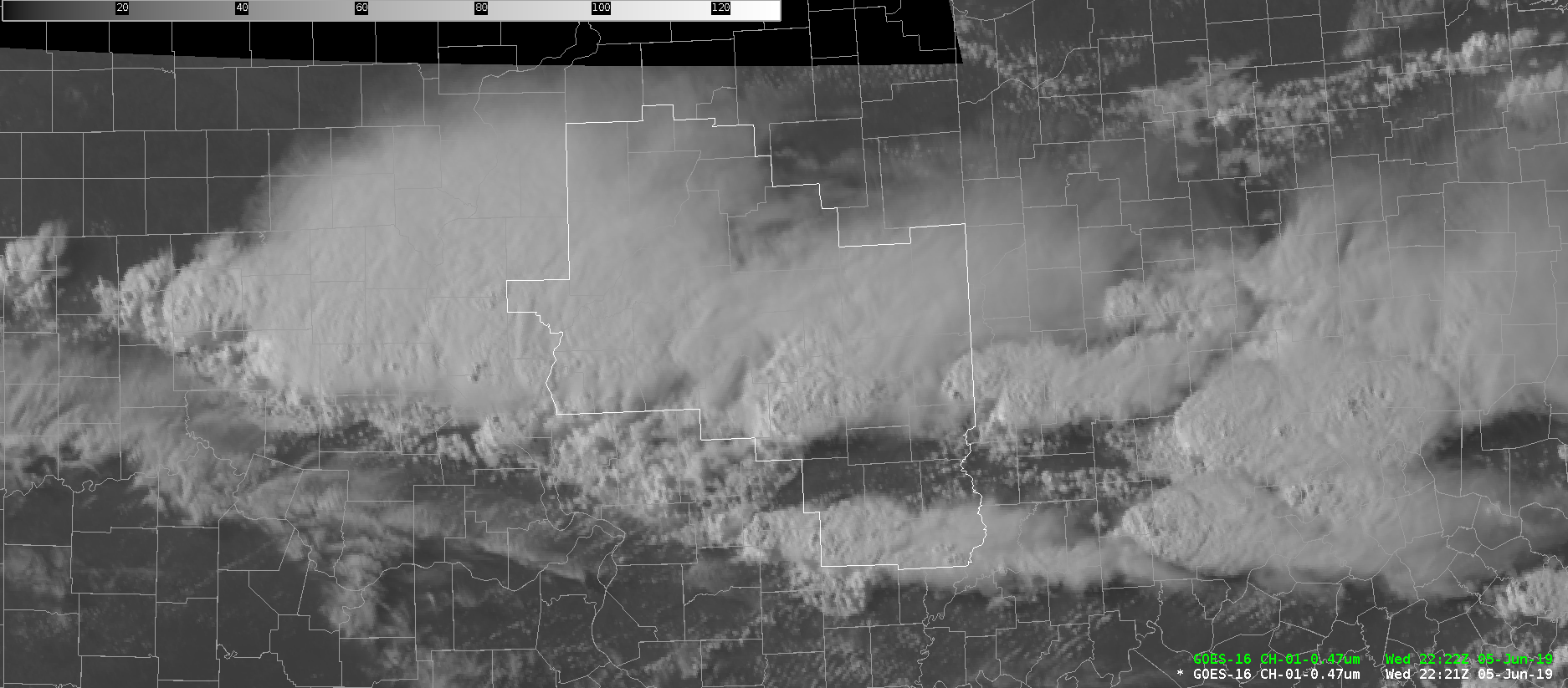
The effective surface cold front remains well north of Illinois, draped west to east across central Wisconsin as of the 22z surface analysis. Further south across the state, two main forcing mechanisms continue to play host to strong to severe convection. The first (southernmost boundary) is nearly stationary acting as the area of primary convergence, while also service as the dividing line between 70 degree dewpoints (south) and mid to upper 60s (north). The second is an outflow boundary loosely associated with earlier day convection, which continues to race southward driven largely by cold pool propagation. This boundary is anticipated to overtake the primary boundary over the next few hours, ushering the majority of shower and storm activity south of the Lincoln IL CWA later this evening (Showcased well by NUCAPS forecasts). With ample CAPE (1500 – 2500 J/KG per the 22z AllSkyLAP product) remaining along and south of said boundaries, storms are expected to retain their intensities through the early evening hours. Primary threats will remain damaging wind gusts, large hail, and flash flooding primarily in areas that see repeat thunderstorm convection this afternoon and evening.
—————————————————————————————————–Mountain Bone