
Below is a loop of the NUCAPS CAPE forecast for the afternoon across the CTP CWA.
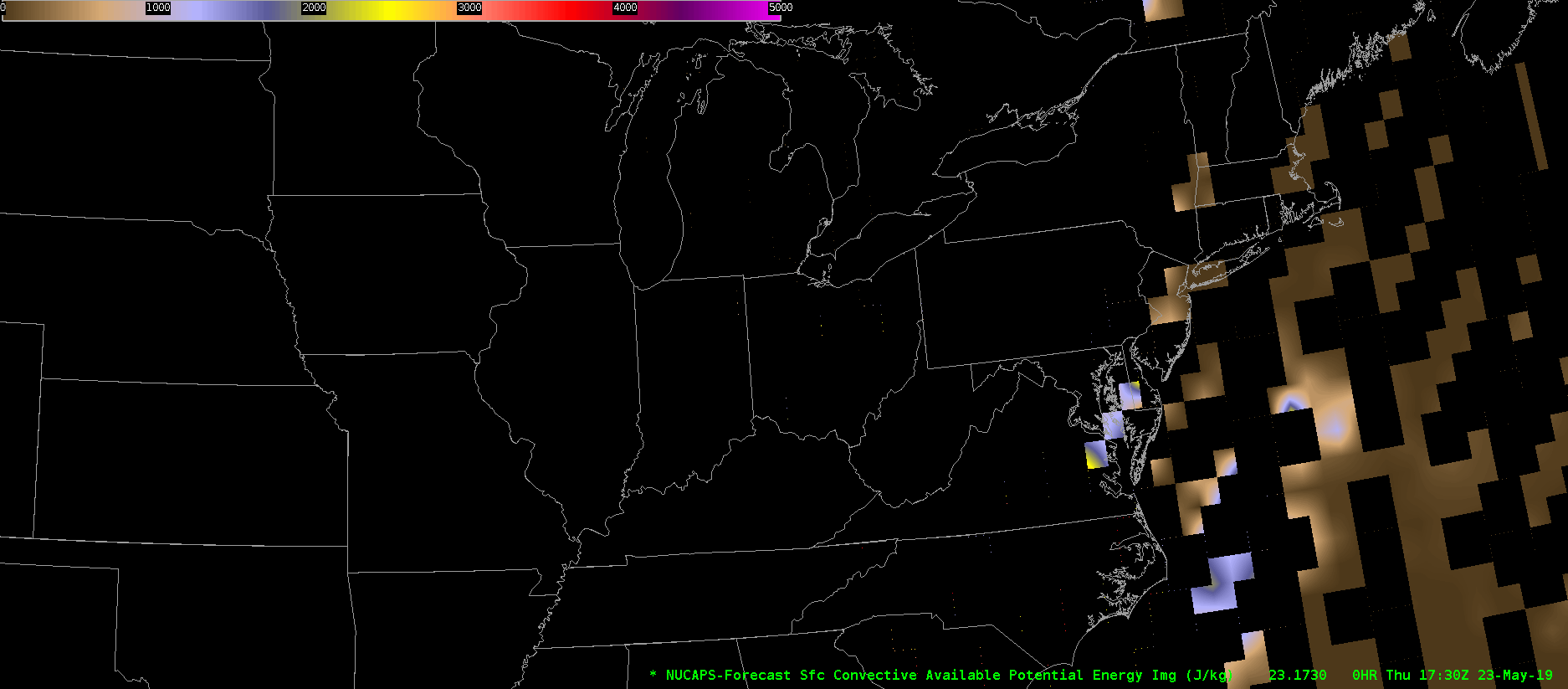
Unfortunately, the product is very blocky, and makes it hard to use, especially since some of the missing data is in the time and place where high impact weather may occur. It’s clear that it is trying to show some elevated CAPE moving across central Pennsylvania, but the values are very suspect to me given the missing chunks of information.
Thorcaster