
Area discussion for the Dakotas: Lower heights area located over western S Dakota and stacks from 700-500mb and will make its way easterly throughout the day. 850mb winds from the south at 30Kts.
METSAT shows low/mid clouds moving into ND from the west with clearing over the center of the states where wx is expected. Upstream surface observations support this clearing as they show dry air advecting into the area from the south.
Radar shows weak convective activity to the north moving into Canada. Models and the SREF are in agreement that the majority of thunderstorm development happen around 1-3z.
Merged TPW Composite total PW values over the center of the N/S Dakota states where convection is expected according to SPC outlook is less than 1” with values between .80-.95” and AllSkyLAP 900mb PW is even lower at .30”.
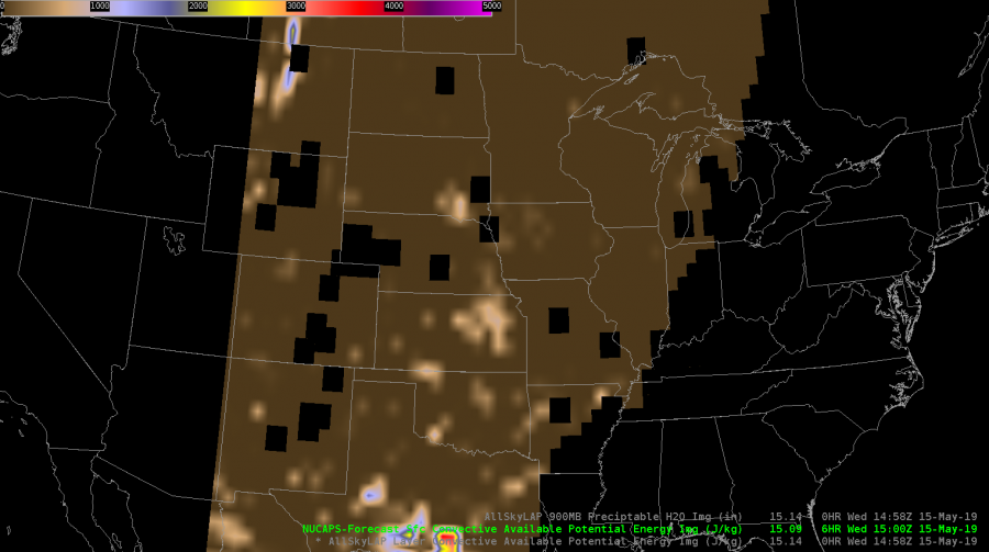
NUCAPS fcst Sfc CAPE overlay CAPE values range between 400-500/kg but there are quite a few gaps in coverage.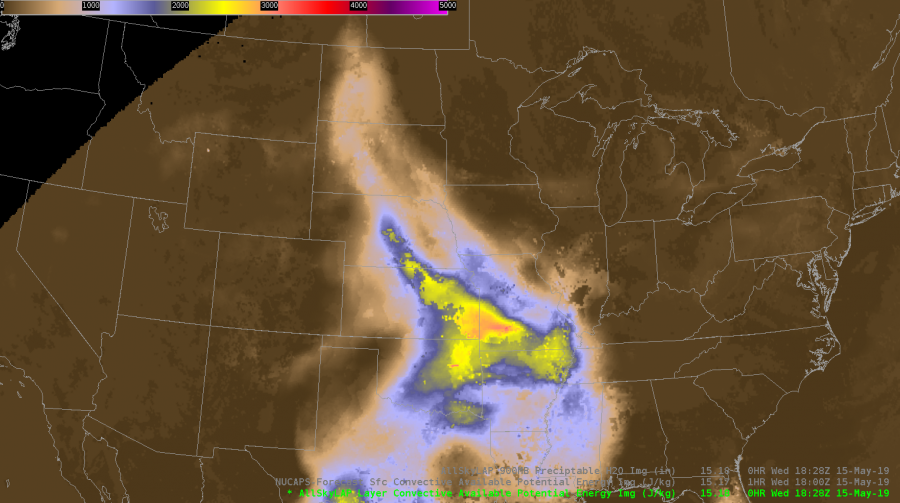
Meanwhile AllskyLAP CAPE shows 900-1500J/kg, and NAM models show extremely high CAPE values of 3000-4500J/kg.
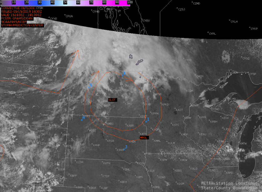
Local TAFs show no thunderstorms or even rain while the SPC continues to carry SLGT over the Dakotas. It’ll be interesting to see how this scenario plays out as the day progresses.
–DESMOND–