
A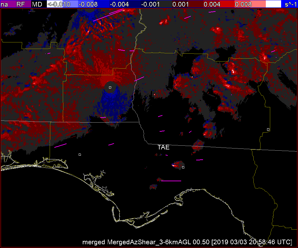
In watching for convection knowing that later in the simulation there will be tornadoes produced in the FL Panhandle, I took a peak at each product prior to convection. Single radar AzShear is a little far away and doesn’t pick up on it but the merged products give an early indication that a supercell is developing and beginning to rotate. Knowing this storm will produce a tornado this is very helpful as a heads up.
— lakeeffect