Single radar AzShear appears to do a nice job of highlighting the FFD and especially the RFD right before and during what looks like a fairly significant tornado.
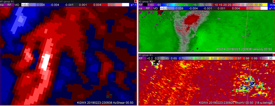 In this first image, the updraft-downdraft convergence zone appears to be a continuous line in AzShear.
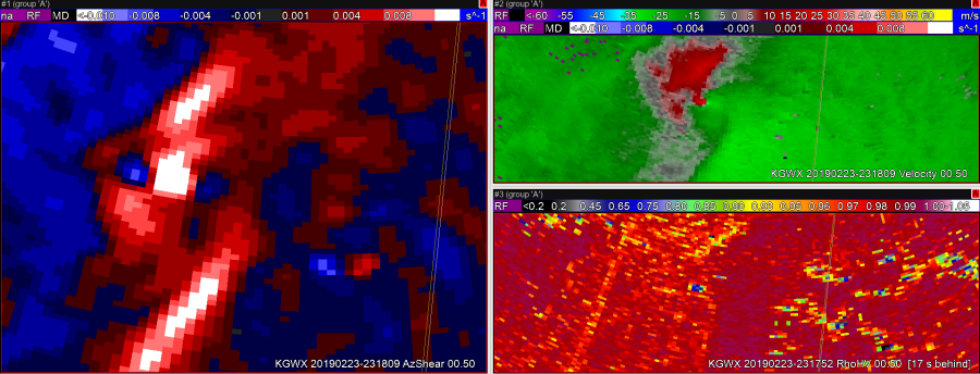 In the second image, you can see the RFD kicking out ahead of the storm right as the velocity couplet intensifies and a TDS appears.
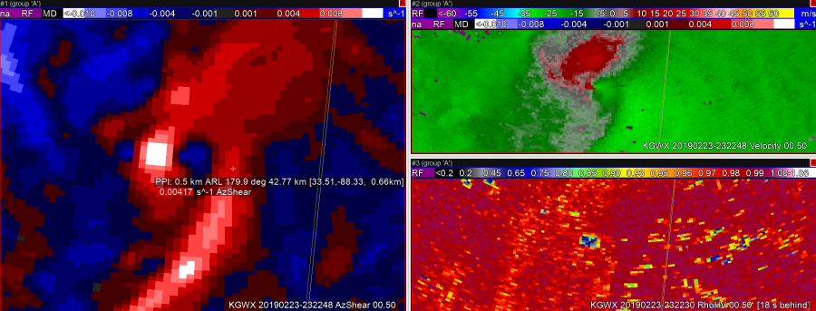 In image 3, it looks like the RFD has pushed well ahead of the tornado, perhaps hinting that the tornado may soon dissipate.
 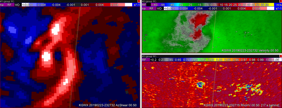 The TDS lingers in this image, but the velocity couplet has weakened.
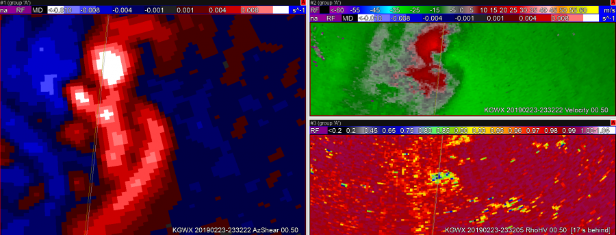 Still have a TDS, but velocity couplet has become very weak.
Sandor Clegane
