

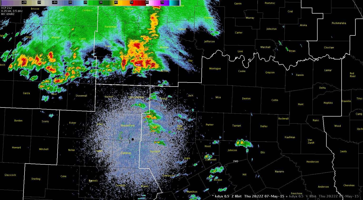
New convection has been initiating along the nose of stronger instability feeding northward across north central TX and I have been watching one cell in particular in Young county TX.
The ENI time series has provided a nice trend in the strengthening of the storm and showed a large jump in flash rate just before 2050 UTC. Looking at the base data all tilts at the time of the jump revealed a deep 50 dbz core to almost 40kft and a 70 dbz core to over 21kft.

I think this ETN time series data was useful in identifying a rapidly developing updraft. Interesting to note, the ProbSevere model indicated a 74% severe threat at 2024 UTC on this storm which then went to 88% at 2033 UTC and then 98% at 2040 UTC.
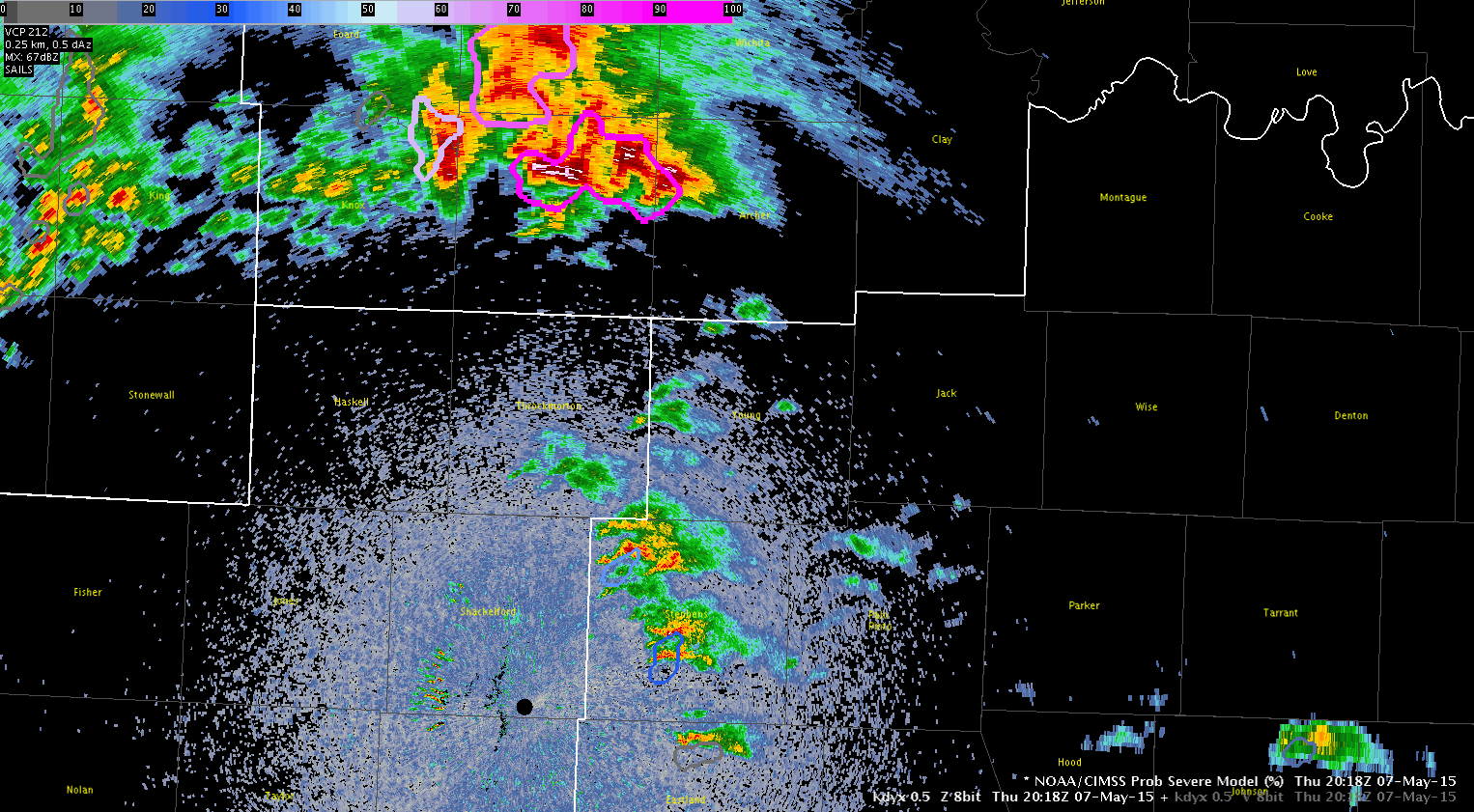
The ProbSevere output on the storm when it showed the 74% threat showed a strong glaciation rate and moderate growth rate with MESH of 0.68 inches.
Jack Bauer