ALY: First Warning of the Day

A three-body scatter spike and strong indications in the dual-pol data have led the decision to a severe thunderstorm warning for hail in southern Herkimer County, NY.
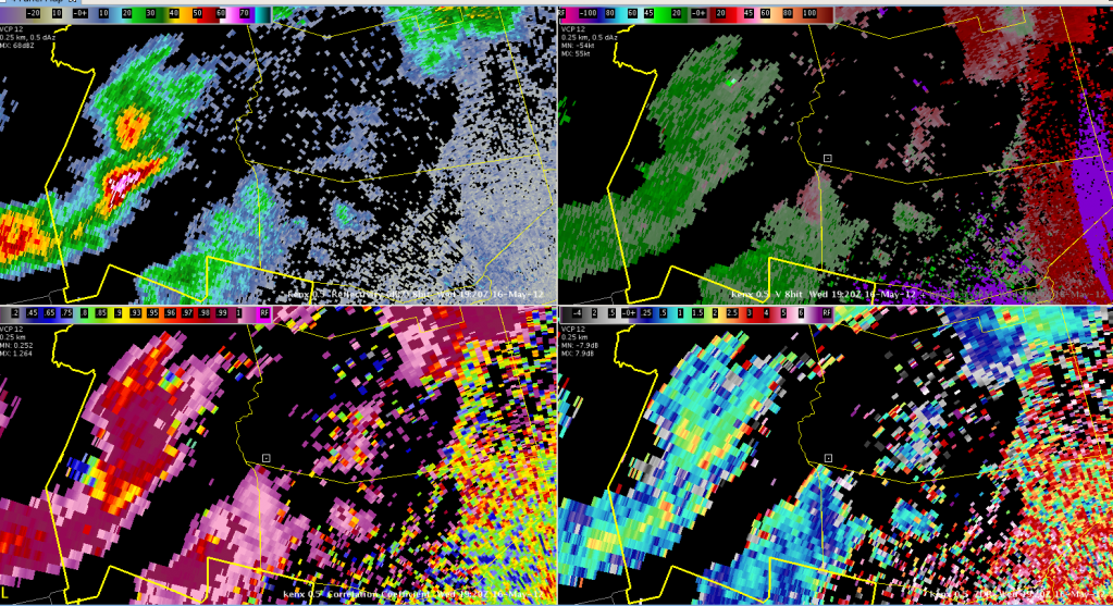
KENX Reflectivity, Velocity, ZDR, and CC valid 2012-05-16 1920 UTC
KENX 0.5-degree Reflectivity, Velocity, ZDR, and CC valid 2012-05-16 1920 UTC

Neither MRMS nor 3DVAR are as impressed with the storm.  Updraft intensity fields in the 3DVAR are rather weak, but there were indications of strong 10km (storm-top) divergence (greater than 9.5 s^-1) starting at 1915 UTC.
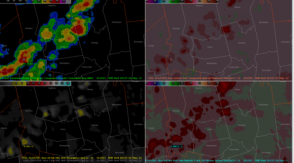
3DVAR Analysis Reflectivity Composite, Updraft Composite Maximum, Max Updraft Track, and 10km Divergence valid 2012-05-16 1915 UTC

MRMS MESH has peaked under 1″ and had just a 38% POSH.
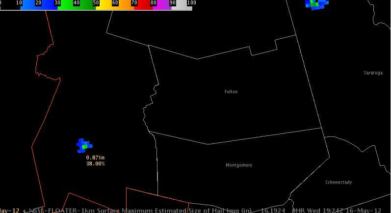
MRMS MESH & POSH valid 2012-05-16 1924 UTC