NSSL-WRF SimuSat Prompts Move to DVN

The simulated satellite imagery based off the NSSL WRF is handling a cold frontal passage in the Midwest quite well this afternoon.  The 2000 UTC comparison between the WRF “SimuSat” and observed IR image:
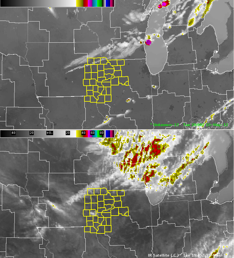
NSSL-WRF Simulated GOES-R IR Satellite (top) vs. Observed IR Satellite (bottom) at 2000 UTC 2012-05-15

The NSSL-WRF simulated satellite imagery suggests that storms will erupt over the next hour:
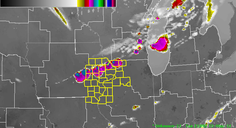
NSSL-WRF Simulated GOES-R IR Satellite (top) vs. Observed IR Satellite (bottom) at 2100 UTC 2012-05-15

This model output, combined with hits from the UAH Convective Initiation product in the Cu field along the front, has prompted the RNK group to shift domains to DVN for the rest of the afternoon.
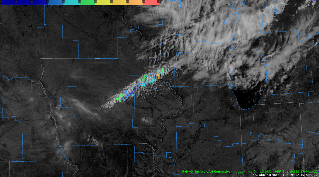
Visible Satellite and UAH CI Product, 1932/1930 UTC 2012-05-15