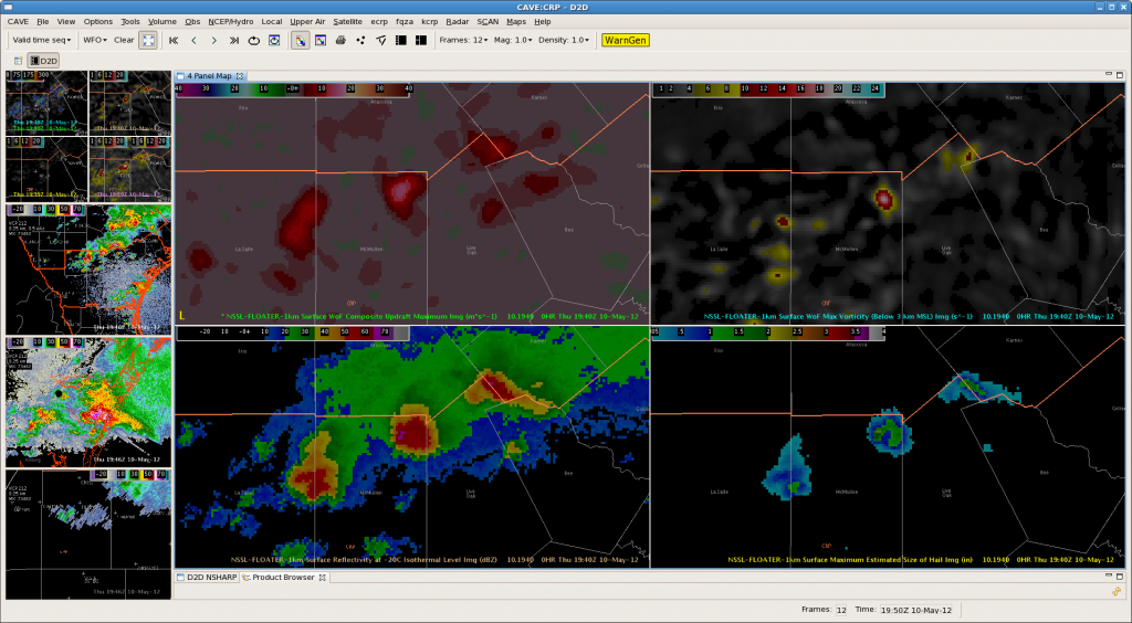
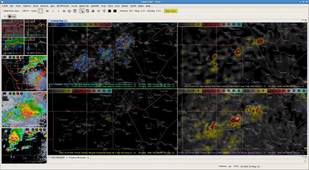
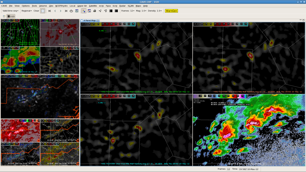
3 training supercells are currently moving across the northern counties of the CRP CWA. Ryan & Jeffrey have issued TOR warnings on all 3 of the storms & have been interrogating a number of 3DVAR products and integrating them with base CRP radar data.
The maximum updraft product has quickly become a go-to for situational awareness and quickly evaluating which storms strengthening/weakening…


Local storm reports and trained spotters have reported a number of funnel clouds and a couple of tornadoes with the storms over the past hour.
-Kristin C.
