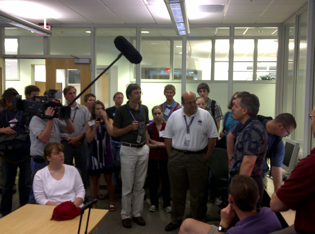
Week #3 had a very interesting local event, with the following guest NWS forecasters: Jason Jordan (WFO Lubbock, TX), Daniel Leins (WFO Phoenix, AZ), Bobby Prentice (WDTB, Norman, OK), Pablo Santos (WFO Miami, FL), and Kevin E. Smith (WFO Paducah, KY). Other visiting participants this week will include Chris Jewett (UAH), Scott Rudlosky (UMD), Lee Cronce (UW-CIMSS), and Rudolf (Rudi) Kaltenböck (Austro Control, Vienna, Austria)
Overview of week 3
Monday was primarily a training day, and was spent familiarizing the forecasters with the products. They examined both the playback case we have used consistently each week of the experiment, as well as some real-time storms that developed in western OK.
Tuesday was possibly one of the more exciting days in the 5-year history of the EWP. The morning shift focused on examining the OUN WRF and other data sets, producing the discussion “Tornado Outbreak Likely over KS/OK/n TX.” We met with the EFP for a combined discussion at 1 pm, and quickly regrouped in the Development Lab for a more detailed strategy session, and were into operations mode by 2pm.

As we moved into the mid-afternoon, supercells developed by 3:30pm, and by 4pm there were tornadoes being observed by spotters and shown in real-time on the Situational Awareness Display.

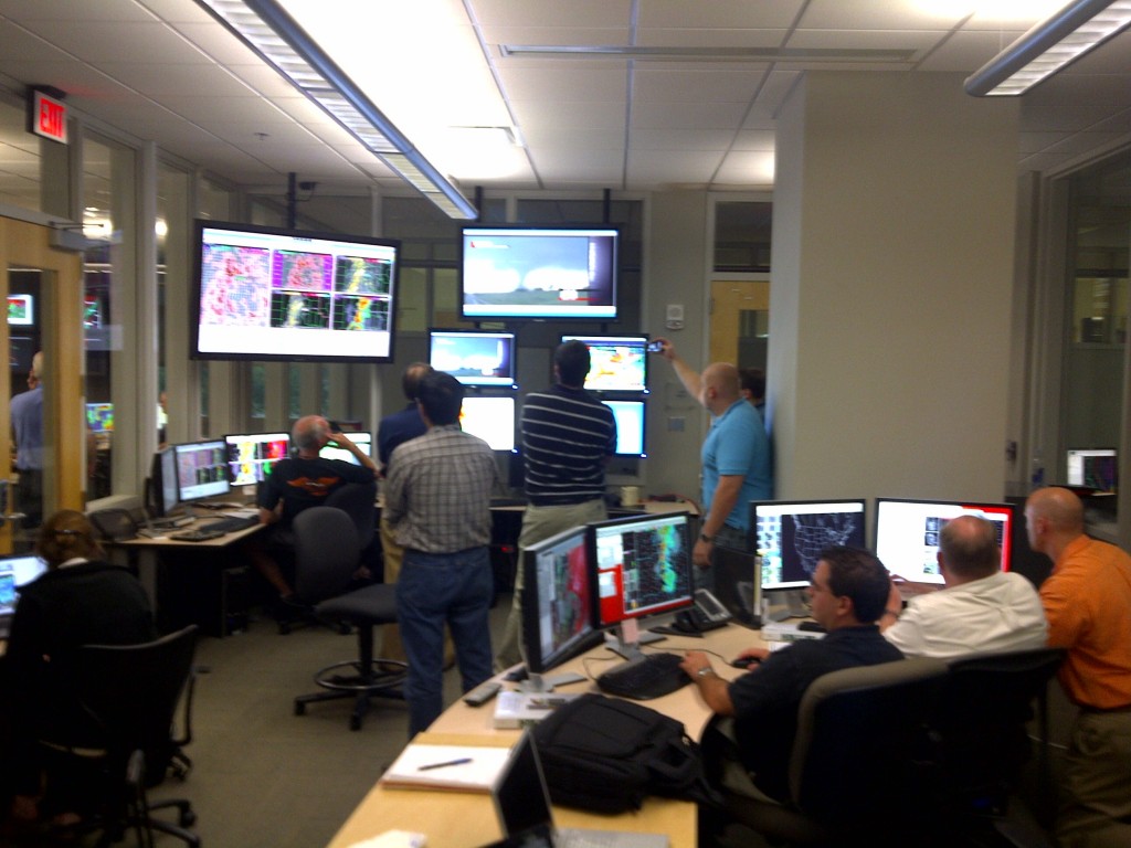
With several supercells approaching central Oklahoma, one group took responsibility for the northern cluster of storms, while the other group observed the southern storms. Forecasters were able to evaluate all the experimental products (GOES-R, 3DVAR, OUN WRF), although the pGLM feed stopped when one of the OK Lightning Mapping Array sites was damaged by a tornado. At 5:45pm, the National Weather Center security desk called for everyone to take shelter on the lower level of the NWC. A few forecasters stayed and observed the storm approaching on radar, but operations were suspended.
As Jason Jordan wrote:
The majority of the forecasters stayed in the HWT to watch the storms as they approached the National Weather Center. Live data from the PAR along with area TDWRs and the KTLX radar showed an impressive evolution of two confirmed tornadic debris balls as the storms moved towards us.
The 3DVar products all handled the track and evolution of the storms very well and the combined radar products also have an excellent track of the tornadoes as well. Continuity was maintained as the storms moved into the cone of silence of the KTLX radar.
As the storms started to move into the metro OKC area, attention to the details/operations was lost as we watched live TV feeds and could see the hail falling outside the WFO window. The excitement rapidly turned to sorrow however as the live TV feeds showed homes and structures being ripped apart.
One last item that made it very clear how close we were to being impacted by the tornadoes directly; leaf and light matter debris was falling from the sky when several EWP members went up to the roof of the NWC to see the dissipation of the tornado moving south of Norman.
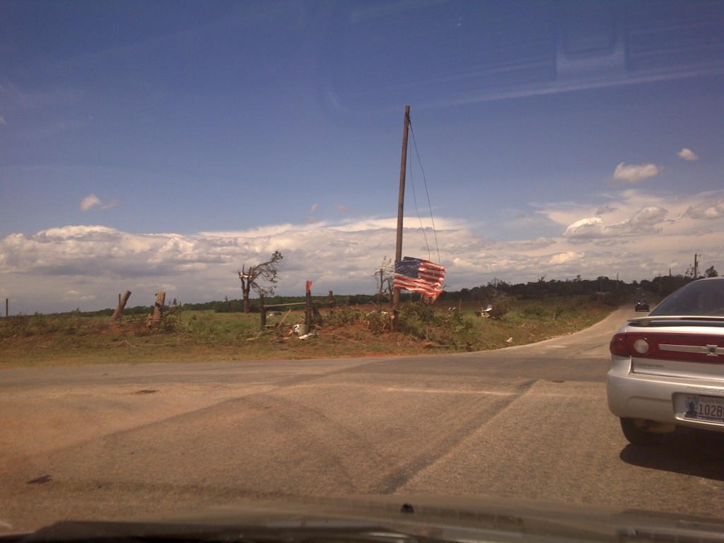
Because Central Oklahoma was affected by several violent tornadoes, we suspended operations on Wednesday, and all EWP participants assisted the Norman NWSFO in surveying the damage. With the help of the EWP teams and others from the Norman community, 8-10 groups of 2-3 people each were able to survey a majority of the damage in one day.

Thursday’s operations focused on convection in Pennsylvania and Maryland, which allowed additional use of the pGLM products from the DC LMA. The CI and Nearcast products were examined during the early shift, and the 3DVAR and other remaining satellite products were used during warning operations.
Our usual Friday round-table discussion of the week’s activities provided a lot of additional feedback. Comments:
UH CI:
- performance should improve with next-gen satellites. Probabilities would be a good addition.
- the CI algorithm may not work work outside the plains region (although it did work in Florida on Thursday)
Other Satellite products:
- the precipitable water was a nice utility. Theta-E max on Tuesday showed that the storm was moving into an even more unstable environment. Gave some additional lead time. Chris S. commented that this was not the way the creators originally intended to use it, but is a nice fall-out from the research.
- another forecaster commented that these products could be useful for off-shore significant weather.
pGLM:
- Tuesday, looking start of El Reno storm, cell mergers, rapid increase in flash rate w/ big changes in updraft intensity. Downstream increase in anvil activity seemed predictive of where the supercell was moving / regenerating. We also saw that in the Sterling data on Thursday – rapid increase, led to a closer look and noticed that new cell generation was occurring.
- 10-15 minute lead time over CG network. Lots of potential uses, but need more research.
- General consensus is the a ration of in-cloud to CG-lightning would be interesting.
- The presence of persistent lightning over time may be related to flash flooding
OUN WRF:
- it did really well on Tuesday. Looked at it hour-after-hour. Updraft Helicity, vorticity. Probably an accident (jokingly), but was surprised how well it did. Good groundwork for Warn-on-Forecast. Very promising.
- echo previous comment. Could look at HRRR model for initial conditions. May be a good boundary condition for OUN WRF in situations where you have less-than-stellar data.
- Florida forecasters were impressed with HRRR in FL so much that they have started to use it as initial boundary condition. Have you done any verification versus MR/MS products?
- OUN would like to use the SPC methods for scoring output for this.
- the displays are unviewable in some cases. Too cluttered.
- Flash Flood – would be nice to have accumulated precip.
- could do Rotation Tracks, trend analysis.
Side discussion on mesoscale and storm-scale ensembles:
- need a way to establish reliability of ensembles
- challenge to consider options – need a statistical complement to the ensemble – statistical distribution of storm behavior.
- Mark DeMaria paper on blending statistical and dynamic model ensembles to determine improve reliability
- also reference independent study in the Miami Herald on Probability of Precipitation forecast. Newspaper used a reliability diagram to show NWS PoP skill.
3DVAR :
- liked updraft intensity a lot. Could be used in the microburst environment to detect which cells may be severe.
- Did an outstanding job on the Tuesday event
- No doubt that this would be useful. Need to get it into OSIP right away.
AWIPS thoughts:
- need some default procedures in AWIPS. Half the battle was that it was very inefficient to view them. Lots of time wasted.
- yes! Had to recreate his procedures. Much of his data was missing do to not having a full feed in AWIPS (note: this will be fixed in AWIPS2 next year).
- most of these are just relational. Want to evaluate as many procdures as possible in as little time as possible. Synergistic across multiple projects.
Other forecaster thoughts:
- Powerpoint training is not the best. Would prefer “Articulates”
- include data from previous real-time case to demonstrate. Perhaps a Virtual Machine for AWIPS
- forecasters should be required to do pre-work before arriving at the HWT. This would allow Monday to be used for operations instead of training.
– Travis Smith, weekly coordinator

