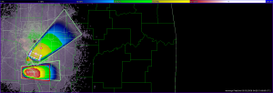
The cap held in Oklahoma until just before sunset today, when the leading edge of a moisture surge, seen as a westward-moving boundary, collided with the dryline. A supercell developed in western Garvin County and tracked slowly eastward, calving off at least one significant left-split that raced off to the northeast. We tested out the gridded probabilistic warning software today on these two storms (the left- and right-moving pair). There were still a few issues with regarding to time syncing of the various products, and the current threat area grids are still sometimes missing from the one-minute grid updates. Otherwise, the new storm motion-tool worked well and I was able to keep up with the two storms with not much difficulty. I issued and maintained high probability hail warnings for each storm, as well as a very low-probability tornado warning on the right mover. Here are a few images taken from WDSSII.
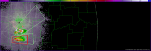
We also ran the Phased Array Radar (PAR) in TSS mode (Temporal Sensitivity Study) during the life time of the storms. The storm was moving slow enough to afford us the option of collecting a “half sector” 45 degrees wide. An image:
There were no CASA operations, as the storms were outside of the radar network.
Greg Stumpf (EWP Weekly Coordinator, 21-25 April)
Addendum:
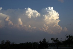
Here is an image of the storm from outside of the NWC around 8 pm CDT:
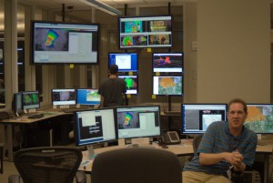
Also, we had the Situational Awareness Display (SAD) operating. Here’s an example of how this might look:
Kevin Manross (Backup EWP Weekly Coordinator, 21-25 April)


